Transport Functions
Road
Multimodal
Hub Profile
Region
LK
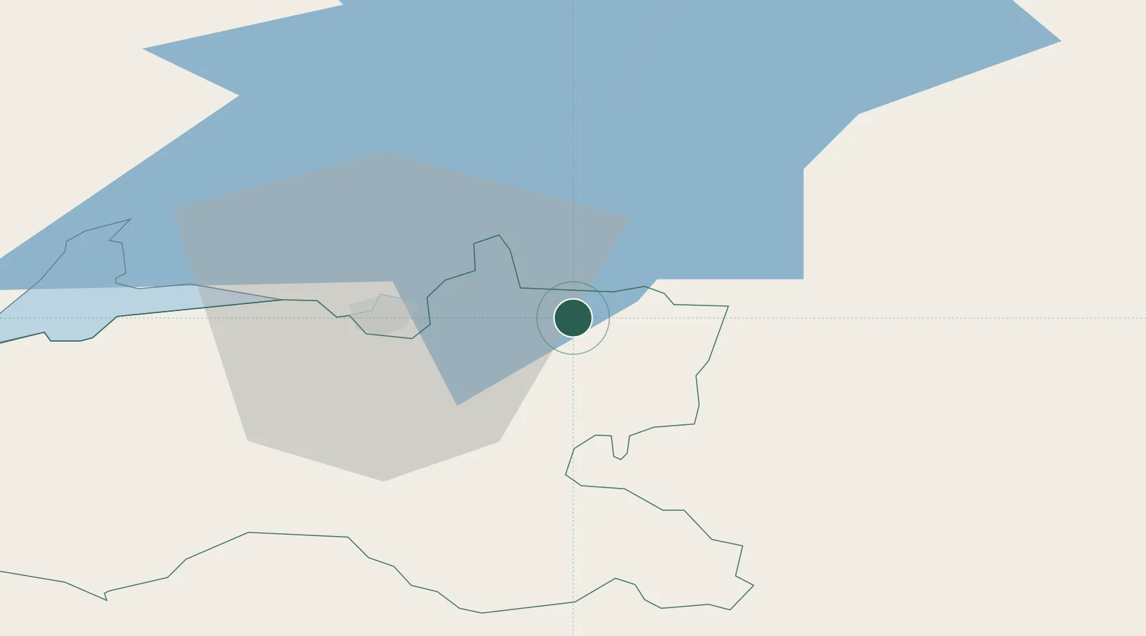
Location
Nearby Logistics Neighbours
Airports
- 1Shannon Airport37 km
- 2Inisheer Aerodrome89 km
- 3Cork International Airport90 km
- 4Kerry Airport93 km
- 5Inishmaan Aerodrome94 km
Trade Zones
DatabookThe Record of Consolidated Knowledge
Ireland beyond logistics?