UN/LOCODE hub · Ireland
IEGRE

Greencastle

55.2000°, -6.9833°
817
Population
2
Transport functions

Transport Functions

Port
Road
UN/LOCODE

Hub Profile

Place type
Populated place
GeoNames
Region
Ulster
GeoNames
Population
817
GeoNames
Time zone
Europe/Dublin
GeoNames

Location

Location of IEGRE
Natural Earth 10m (public domain) · Ulster · IEGRE · 55.20, -6.98GoogleOSMYandex

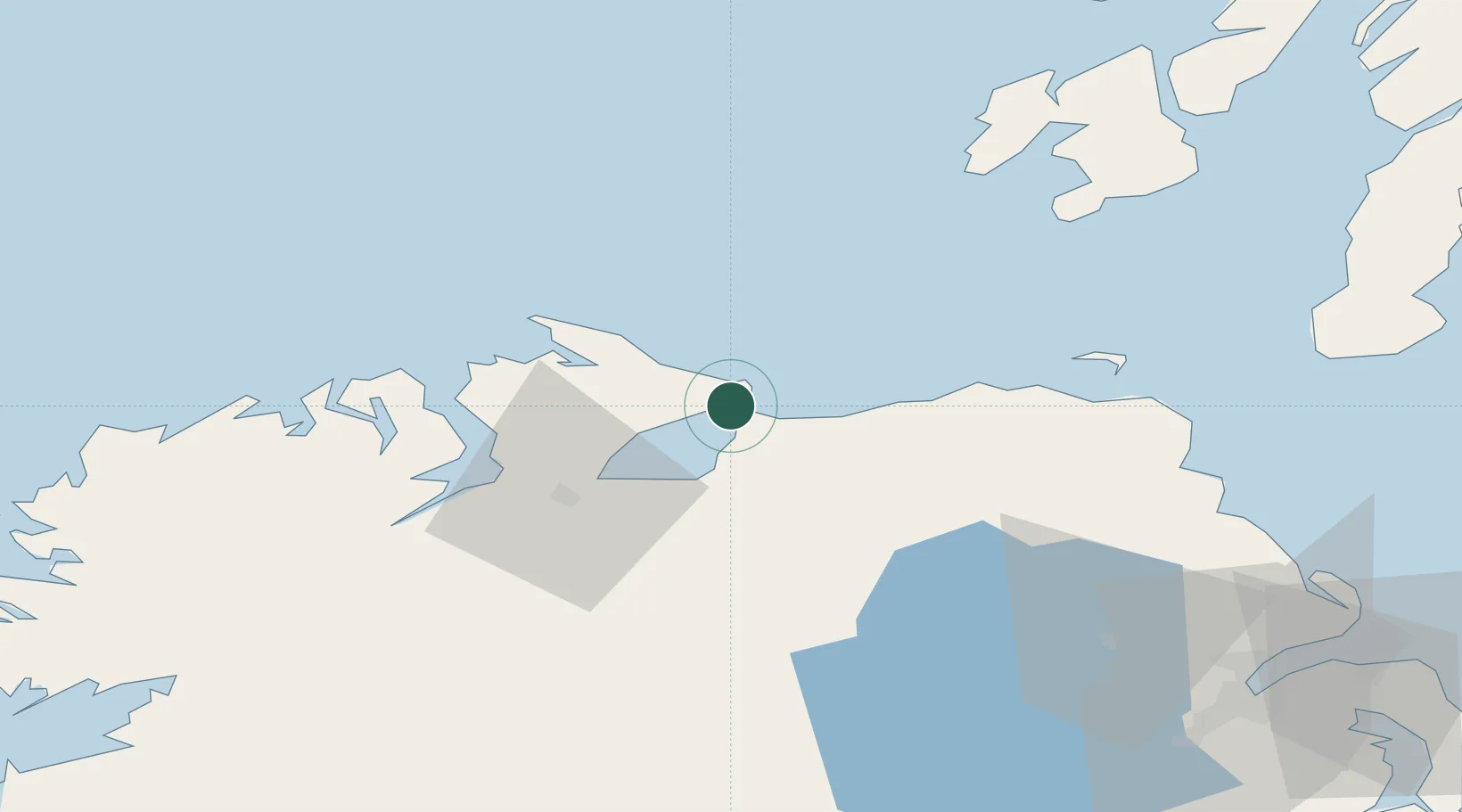
Nearby Logistics Neighbours

Cities
  1. 1Magilligan Point Ferry Terminal, Lough Foyle2 km
  2. 2Moville4 km
  3. 3Portstewart17 km
  4. 4Maydown27 km
  5. 5Portballintrae29 km
Nearest neighbours — logibook spatial index (haversine) over the source coordinates
Ports
  1. 1Coleraine21 km
  2. 2Londonderry31 km
  3. 3Rathmullan37 km
  4. 4Port Ellen69 km
  5. 5Larne85 km
Nearest neighbours — logibook spatial index (haversine) over the source coordinates
Airports
  1. 1City of Derry Airport21 km
  2. 2Islay Airport71 km
  3. 3Belfast International Airport78 km
  4. 4Campbeltown Airport86 km
  5. 5Donegal Airport88 km
Nearest neighbours — logibook spatial index (haversine) over the source coordinates
Trade Zones
  1. 1Prestwick Airport Free Zone154 km
  2. 2Isle of Man Free Zone and Business Park195 km
  3. 3Dublin International Financial Services Centre211 km
  4. 4Carlisle Kingmoor Park Enterprise Zone258 km
  5. 5Blackpool Enterprise Zone300 km
Nearest neighbours — logibook spatial index (haversine) over the source coordinates
DatabookThe Record of Consolidated Knowledge
Ireland beyond logistics?
Browse databook

All Sources

LocationsUN/LOCODE
UN/LOCODE — free
LocationsGeoNames
CC BY 4.0
Portsthe NGA World Port Index
Public domain (US gov)
AirportsOurAirports
Public domain
Trade Zonesthe World Bank SEZ database
CC BY 4.0
Trade ZonesOpen Zone Map
CC BY
← Ireland locations