UN/LOCODE hub · United Kingdom
GBPSW
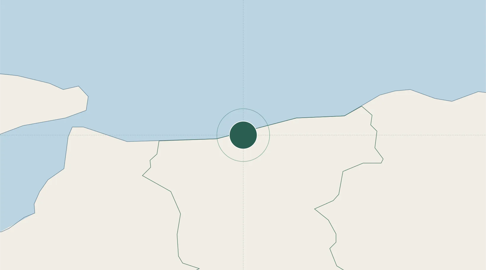
Portstewart
55.1833°, -6.7167°
8,394
Population
2
Transport functions
Transport Functions
Port
Road
Hub Profile
Place type
Populated place
Region
Northern Ireland
Population
8,394
Time zone
Europe/London
Elevation
26 m
Location
Nearby Logistics Neighbours
Cities
- 1Portballintrae12 km
- 2Magilligan Point Ferry Terminal, Lough Foyle16 km
- 3Greencastle17 km
- 4Dunseverick18 km
- 5Moville20 km
Ports
- 1Coleraine6 km
- 2Londonderry43 km
- 3Rathmullan53 km
- 4Port Ellen60 km
- 5Larne69 km
Airports
- 1City of Derry Airport32 km
- 2Islay Airport63 km
- 3Belfast International Airport67 km
- 4Campbeltown Airport71 km
- 5George Best Belfast City Airport83 km
Trade Zones
DatabookThe Record of Consolidated Knowledge
United Kingdom beyond logistics?