UN/LOCODE hub · United Kingdom
GBMGP

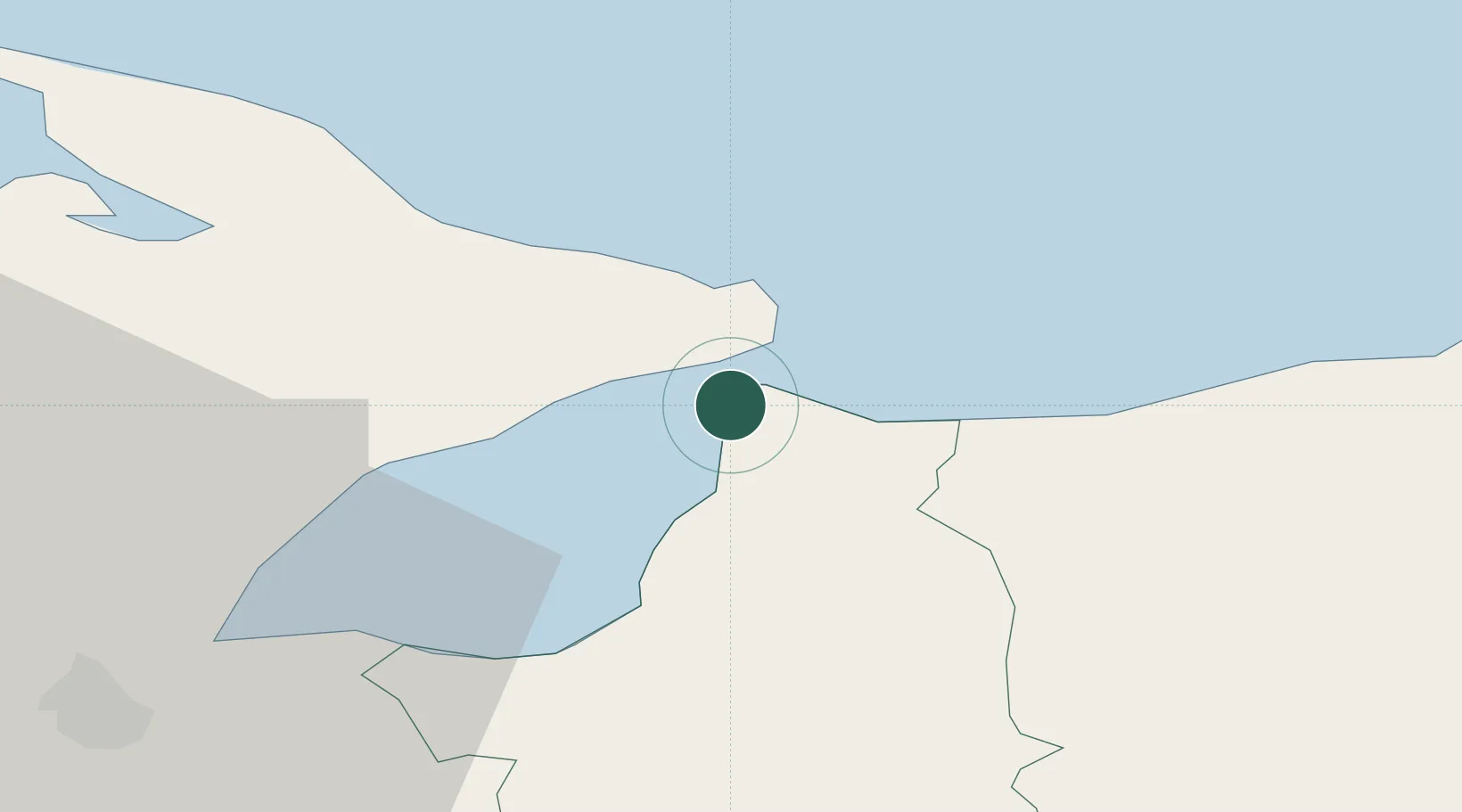
Magilligan Point Ferry Terminal, Lough Foyle

55.1833°, -6.9667°
2
Transport functions

Transport Functions

Port
Road
UN/LOCODE

Hub Profile

Region
LMV
GeoNames

Location

Location of GBMGP
Natural Earth 10m (public domain) · LMV · GBMGP · 55.18, -6.97GoogleOSMYandex

Nearby Logistics Neighbours

Cities
  1. 1Greencastle2 km
  2. 2Moville4 km
  3. 3Portstewart16 km
  4. 4Maydown26 km
  5. 5Portballintrae28 km
Nearest neighbours — logibook spatial index (haversine) over the source coordinates
Ports
  1. 1Coleraine20 km
  2. 2Londonderry30 km
  3. 3Rathmullan37 km
  4. 4Port Ellen70 km
  5. 5Larne83 km
Nearest neighbours — logibook spatial index (haversine) over the source coordinates
Airports
  1. 1City of Derry Airport20 km
  2. 2Islay Airport71 km
  3. 3Belfast International Airport76 km
  4. 4Campbeltown Airport86 km
  5. 5Donegal Airport89 km
Nearest neighbours — logibook spatial index (haversine) over the source coordinates
Trade Zones
  1. 1Prestwick Airport Free Zone153 km
  2. 2Isle of Man Free Zone and Business Park193 km
  3. 3Dublin International Financial Services Centre209 km
  4. 4Carlisle Kingmoor Park Enterprise Zone256 km
  5. 5Blackpool Enterprise Zone299 km
Nearest neighbours — logibook spatial index (haversine) over the source coordinates
DatabookThe Record of Consolidated Knowledge
United Kingdom beyond logistics?
Browse databook

All Sources

LocationsUN/LOCODE
UN/LOCODE — free
Portsthe NGA World Port Index
Public domain (US gov)
AirportsOurAirports
Public domain
Trade Zonesthe World Bank SEZ database
CC BY 4.0
Trade ZonesOpen Zone Map
CC BY
← United Kingdom locations