Medium airport · United Kingdom

Campbeltown AirportEGEC
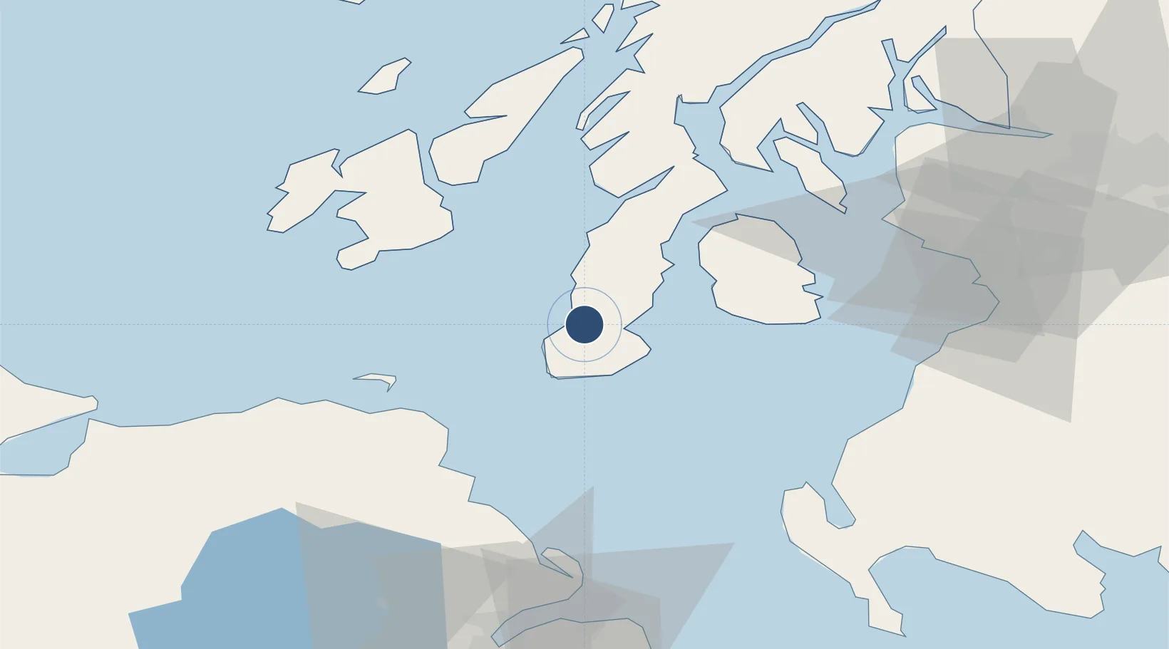
55.4372°, -5.6864°
4,633 ft
Longest runway
1
Runways
42 ft
Elevation

Runway & Layout

Campbeltown Airport runway & taxiway layout
Runway & taxiway layout — OpenStreetMap (ODbL) / OurAirports

Radio Frequencies

AFIS
125.905 MHz
Cambeltown Information
OurAirports

Navaids

CBL NDB Campbeltown 380 kHz
MAC VOR-DME Machrihanish 116.00 MHz
OurAirports

Runways · 1

RunwayDimensions SurfaceTrue headingLit
11/29 4,633 × 98ft Asphalt 106°
OurAirports

Airport Specifications

IATA code
CAL
OurAirports
ICAO code
EGEC
OurAirports
Airport class
Medium airport
OurAirports
Scheduled service
Yes
OurAirports
Runway surface
Asphalt
OurAirports
Served city
Campbeltown
OurAirports

Location

Location of EGEC
Natural Earth 10m (public domain) · Argyll and Bute · EGEC · 55.44, -5.69GoogleOSMYandex

Nearby Logistics Neighbours

Airports
  1. 1Islay Airport45 km
  2. 2Glasgow Prestwick Airport70 km
  3. 3Colonsay Airstrip77 km
  4. 4George Best Belfast City Airport92 km
  5. 5Glasgow Airport92 km
Nearest neighbours — logibook spatial index (haversine) over the source coordinates
Cities
  1. 1Campbeltown3 km
  2. 2Southend Argyll14 km
  3. 3Muasdale18 km
  4. 4Carradale21 km
  5. 5Tayinloan24 km
Nearest neighbours — logibook spatial index (haversine) over the source coordinates
Ports
  1. 1Campbeltown6 km
  2. 2Lamlash Harbor38 km
  3. 3Port Ellen39 km
  4. 4Rothesay Harbor60 km
  5. 5Millport60 km
Nearest neighbours — logibook spatial index (haversine) over the source coordinates
Trade Zones
  1. 1Prestwick Airport Free Zone68 km
  2. 2Isle of Man Free Zone and Business Park164 km
  3. 3Carlisle Kingmoor Park Enterprise Zone182 km
  4. 4Dublin International Financial Services Centre235 km
  5. 5Blackpool Enterprise Zone252 km
Nearest neighbours — logibook spatial index (haversine) over the source coordinates
DatabookThe Record of Consolidated Knowledge
United Kingdom beyond logistics?
Browse databook

All Sources

AirportsOurAirports
Public domain
Portsthe NGA World Port Index
Public domain (US gov)
LocationsUN/LOCODE
UN/LOCODE — free
Trade Zonesthe World Bank SEZ database
CC BY 4.0
Trade ZonesOpen Zone Map
CC BY
InfrastructureOpenStreetMap
ODbL 1.0
← United Kingdom airports