UN/LOCODE hub · United Kingdom
GBXNT
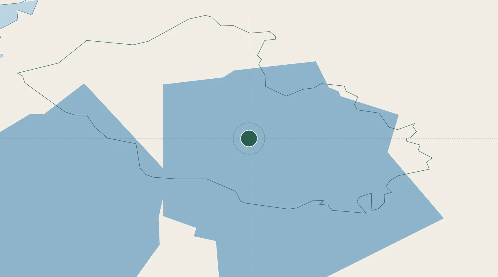
Newtownbutler
54.3000°, -7.6000°
943
Population
1
Transport functions
Transport Functions
Multimodal
Hub Profile
Place type
Populated place
Region
Northern Ireland
Population
943
Time zone
Europe/London
Elevation
57 m
Location
Nearby Logistics Neighbours
Cities
- 1Ballyconnell20 km
- 2Fintona29 km
- 3Clogher29 km
- 4Augher33 km
- 5Manorhamilton37 km
Ports
- 1Sligo56 km
- 2Killybegs66 km
- 3Londonderry80 km
- 4Rathmullan89 km
- 5Warren Point91 km
Airports
- 1Enniskillen/St Angelo Airport11 km
- 2Sligo Airport65 km
- 3City of Derry Airport87 km
- 4Ireland West Airport Knock90 km
- 5Donegal Airport96 km
Trade Zones
DatabookThe Record of Consolidated Knowledge
United Kingdom beyond logistics?