Transport Functions
Port
Multimodal
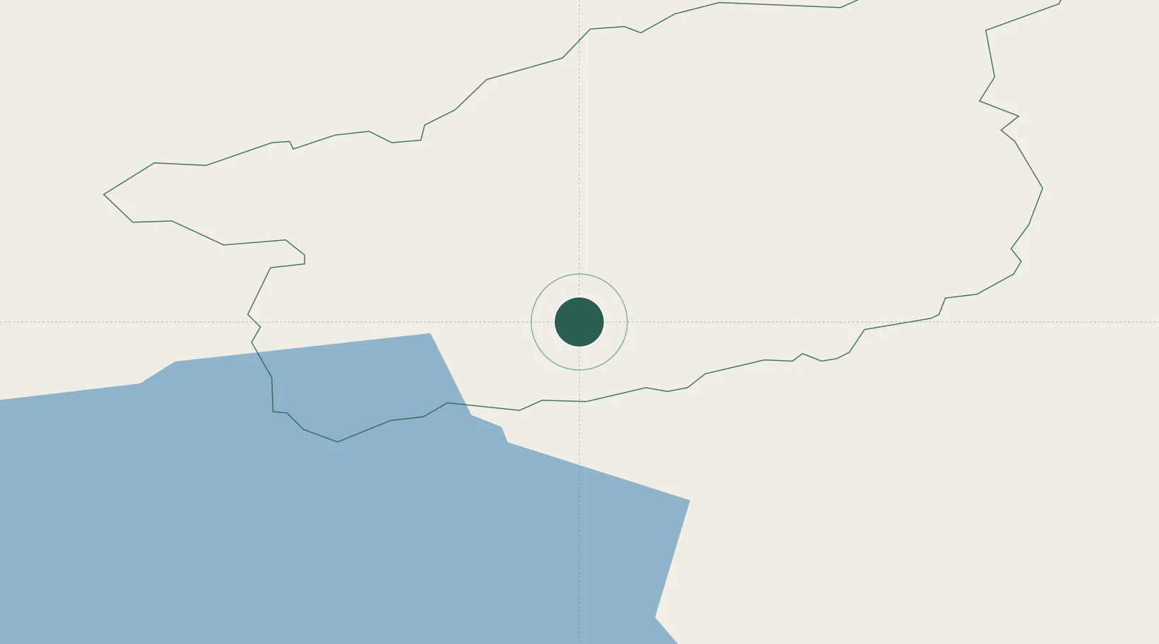
Location
Nearby Logistics Neighbours
Cities
- 1Clogher12 km
- 2Augher13 km
- 3Loughgall28 km
- 4Newtownbutler29 km
- 5Newtownhamilton31 km
Ports
- 1Londonderry56 km
- 2Rathmullan68 km
- 3Killybegs75 km
- 4Sligo79 km
- 5Coleraine82 km
Airports
- 1Enniskillen/St Angelo Airport24 km
- 2City of Derry Airport61 km
- 3Belfast International Airport73 km
- 4Sligo Airport87 km
- 5Donegal Airport89 km
Trade Zones
DatabookThe Record of Consolidated Knowledge
Ireland beyond logistics?