Transport Functions
Multimodal
Hub Profile
Place type
Populated place
Region
Northern Ireland
Time zone
Europe/London
Elevation
94 m
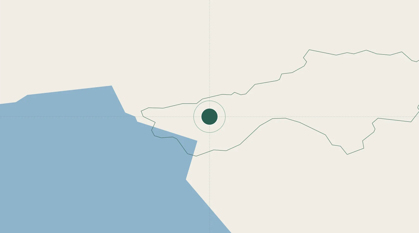
Location
Nearby Logistics Neighbours
Cities
- 1Augher4 km
- 2Fintona12 km
- 3Newtownhamilton20 km
- 4Donaghmore28 km
- 5Newtownbutler29 km
Ports
- 1Londonderry65 km
- 2Warren Point71 km
- 3Rathmullan79 km
- 4Greenore81 km
- 5Sligo84 km
Airports
Trade Zones
DatabookThe Record of Consolidated Knowledge
United Kingdom beyond logistics?