UN/LOCODE hub · United Kingdom
GBXNN
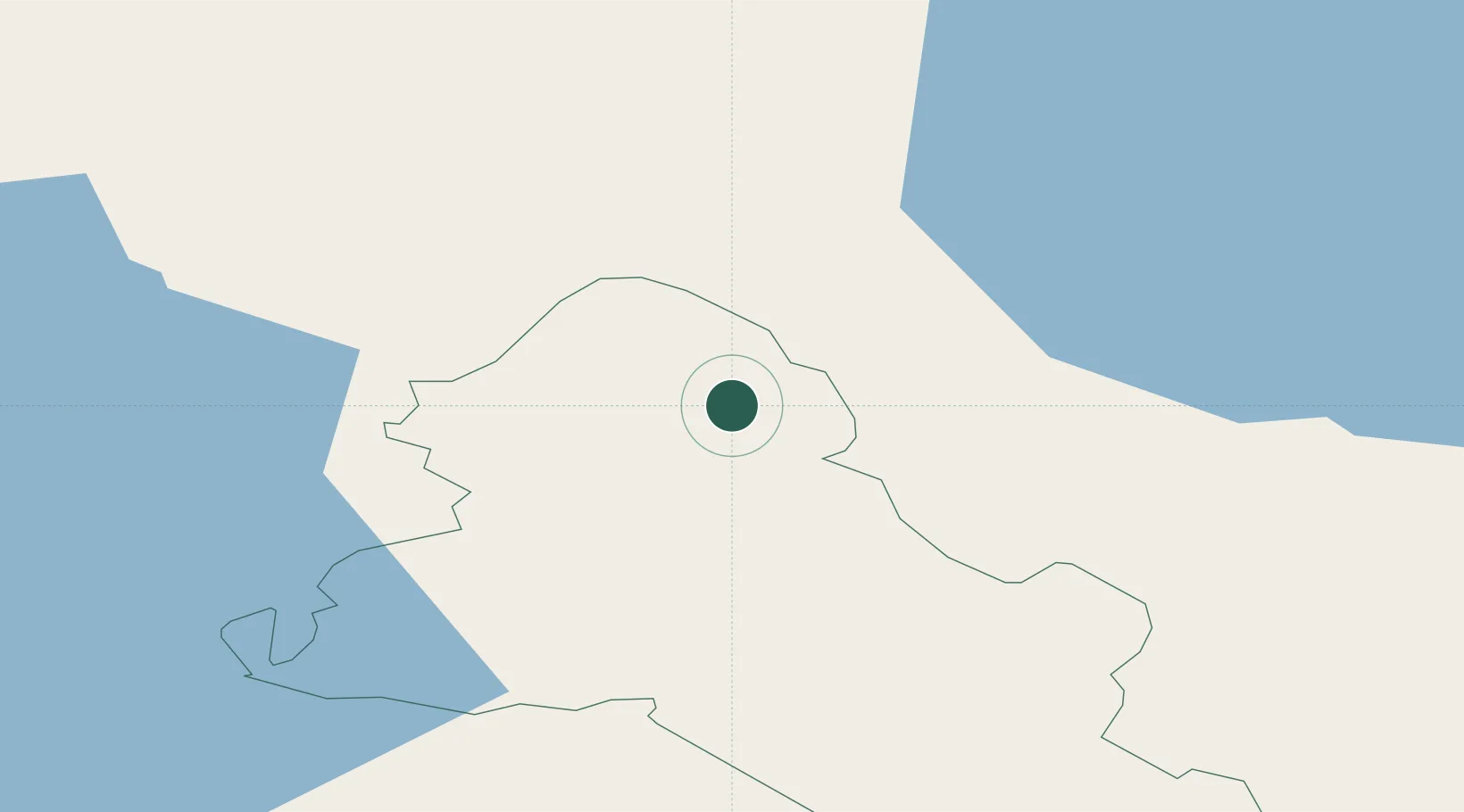
Newtownhamilton
54.3167°, -6.9500°
2,836
Population
1
Transport functions
Transport Functions
Multimodal
Hub Profile
Place type
Populated place
Region
Northern Ireland
Population
2,836
Time zone
Europe/London
Elevation
213 m
Location
Nearby Logistics Neighbours
Cities
- 1Augher18 km
- 2Bessbrook20 km
- 3Clogher20 km
- 4Crossmaglen23 km
- 5Donaghmore26 km
Ports
- 1Warren Point52 km
- 2Greenore62 km
- 3Kilkeel70 km
- 4Belfast76 km
- 5Drogheda79 km
Airports
- 1Enniskillen/St Angelo Airport46 km
- 2Belfast International Airport61 km
- 3George Best Belfast City Airport77 km
- 4City of Derry Airport82 km
- 5Sligo Airport107 km
Trade Zones
DatabookThe Record of Consolidated Knowledge
United Kingdom beyond logistics?