Transport Functions
Multimodal
Hub Profile
Place type
Populated place
Region
Northern Ireland
Time zone
Europe/London
Elevation
59 m
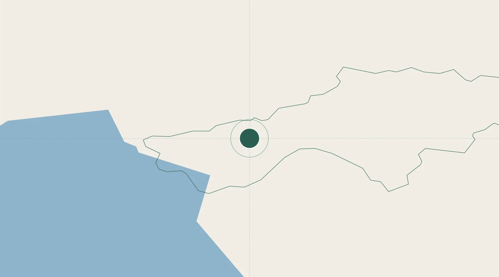
Location
Nearby Logistics Neighbours
Cities
- 1Clogher4 km
- 2Fintona13 km
- 3Newtownhamilton18 km
- 4Donaghmore24 km
- 5Loughgall28 km
Ports
- 1Londonderry64 km
- 2Warren Point69 km
- 3Rathmullan78 km
- 4Greenore80 km
- 5Belfast83 km
Airports
Trade Zones
DatabookThe Record of Consolidated Knowledge
United Kingdom beyond logistics?