UN/LOCODE hub · Indonesia
IDSUM

Sumenep

-7.0500°, 113.9500°
84,656
Population
1
Transport functions

Transport Functions

Port
UN/LOCODE

Hub Profile

Place type
Provincial seat
GeoNames
Region
East Java
GeoNames
Population
84,656
GeoNames
Time zone
Asia/Jakarta
GeoNames
Elevation
8 m
GeoNames

Location

Location of IDSUM
Natural Earth 10m (public domain) · East Java · IDSUM · -7.05, 113.95GoogleOSMYandex

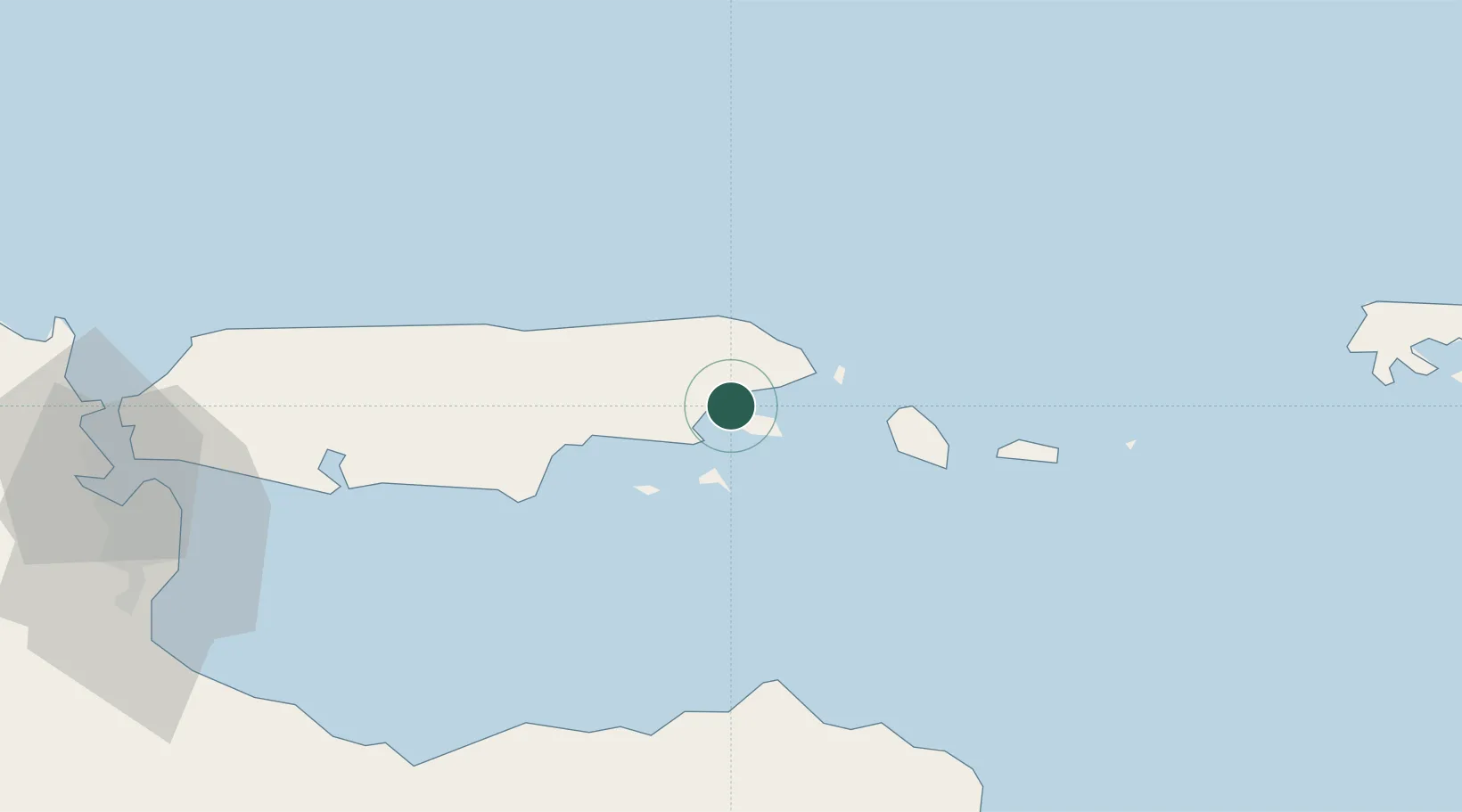
Nearby Logistics Neighbours

Cities
  1. 1Kalbut Situbondo63 km
  2. 2Madura Terminal113 km
  3. 3Pasuruan, Java133 km
  4. 4Banyuwangi135 km
  5. 5Surabaya140 km
Nearest neighbours — logibook spatial index (haversine) over the source coordinates
Ports
  1. 1Panarukan72 km
  2. 2Probolinggo110 km
  3. 3Poleng Oil Field122 km
  4. 4Surabaya135 km
  5. 5Gresik144 km
Nearest neighbours — logibook spatial index (haversine) over the source coordinates
Airports
  1. 1Juanda International Airport133 km
  2. 2Notohadinegoro Airport136 km
  3. 3Lieutenant Colonel Wisnu Airfield142 km
  4. 4Banyuwangi Airport147 km
  5. 5Abdul Rachman Saleh Airport168 km
Nearest neighbours — logibook spatial index (haversine) over the source coordinates
Trade Zones
  1. 1Surabaya Industrial Estate - Rungkut135 km
  2. 2Pulahan Seruai Industrial Estate138 km
  3. 3Pasuruan Industrial Estate Rembang139 km
  4. 4Safe N Lock Industrial Estate140 km
  5. 5Gresik Industrial Estate146 km
Nearest neighbours — logibook spatial index (haversine) over the source coordinates
DatabookThe Record of Consolidated Knowledge
Indonesia beyond logistics?
Browse databook

All Sources

LocationsUN/LOCODE
UN/LOCODE — free
LocationsGeoNames
CC BY 4.0
Portsthe NGA World Port Index
Public domain (US gov)
AirportsOurAirports
Public domain
Trade Zonesthe World Bank SEZ database
CC BY 4.0
Trade ZonesOpen Zone Map
CC BY
← Indonesia locations