UN/LOCODE hub · Indonesia
IDBNI
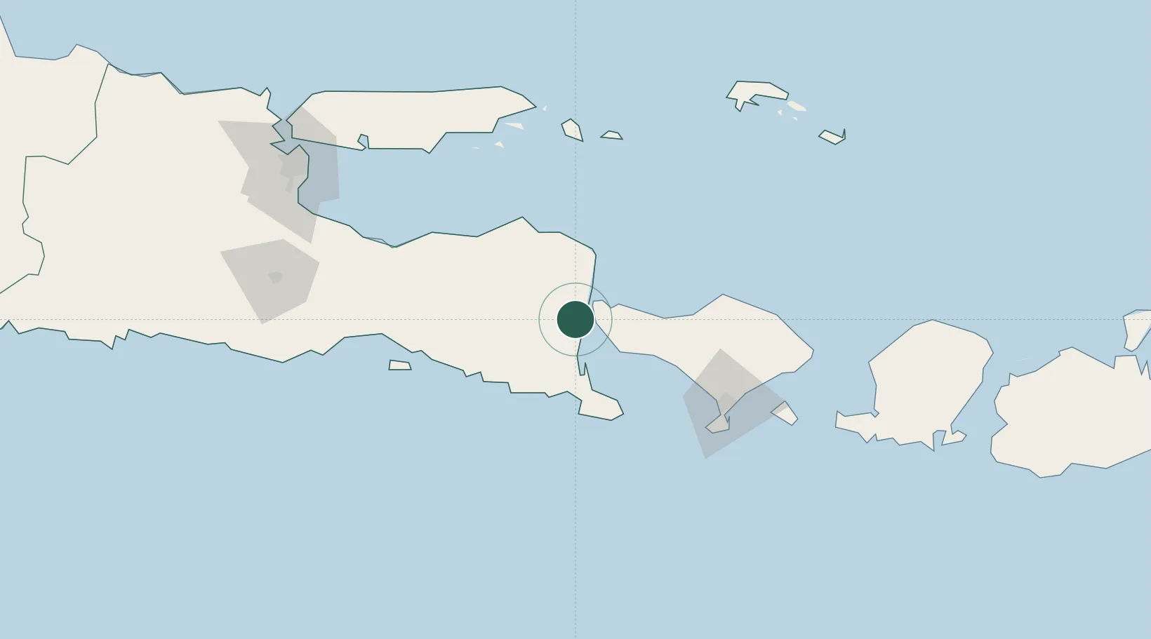
Banyuwangi
-8.2000°, 114.3500°
117,558
Population
2
Transport functions
Transport Functions
Rail
Road
Hub Profile
Place type
Provincial seat
Region
East Java
Population
117,558
Time zone
Asia/Jakarta
Elevation
24 m
Location
Nearby Logistics Neighbours
Cities
- 1Jembrana38 km
- 2Kalbut Situbondo83 km
- 3Gatot Subroto Permai105 km
- 4Kuta108 km
- 5Benoa112 km
Ports
- 1Celukan Bawang53 km
- 2Panarukan72 km
- 3Benoa113 km
- 4Probolinggo136 km
- 5Ampenan193 km
Airports
Trade Zones
- 1Pasuruan Industrial Estate Rembang181 km
- 2KEK Singhasari192 km
- 3Safe N Lock Industrial Estate195 km
- 4Surabaya Industrial Estate - Rungkut200 km
- 5Ngoro Industrial Park204 km
DatabookThe Record of Consolidated Knowledge
Indonesia beyond logistics?