Medium airport · Indonesia

Tabing AirportID-0340
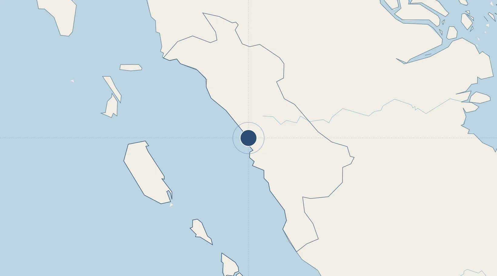
-0.8750°, 100.3520°
7,040 ft
Longest runway
1
Runways
9 ft
Elevation

Runway & Layout

Tabing Airport runway & taxiway layout
Runway & taxiway layout — OpenStreetMap (ODbL) / OurAirports

Radio Frequencies

ATIS
127.25 MHz
TWR
122.2 MHz
APP
124 MHz
PADANG APP
OurAirports

Navaids

OQ NDB Padang 295 kHz
PDG VOR-DME Padang 116.40 MHz
OurAirports

Runways · 1

RunwayDimensions SurfaceTrue headingLit
16/34 7,040 × 148ft Concrete 160°
OurAirports

Airport Specifications

Airport class
Medium airport
OurAirports
Scheduled service
Yes
OurAirports
Runway surface
Concrete
OurAirports
Served city
Padang
OurAirports

Location

Location of ID-0340
Natural Earth 10m (public domain) · Sumatera Barat · ID-0340 · -0.87, 100.35GoogleOSMYandex

Nearby Logistics Neighbours

Airports
  1. 1Minangkabau International Airport13 km
  2. 2Pusako Anak Nagariu Airport123 km
  3. 3Mentawai Airport154 km
  4. 4Departi Parbo Airport184 km
  5. 5Sultan Syarif Kasim II International Airport / Roesmin Nurjadin AFB192 km
Nearest neighbours — logibook spatial index (haversine) over the source coordinates
Cities
  1. 1Padang12 km
  2. 2Telukbayur14 km
  3. 3Sawahlunto53 km
  4. 4Bukittinggi62 km
  5. 5Muara Siberut150 km
Nearest neighbours — logibook spatial index (haversine) over the source coordinates
Ports
  1. 1Teluk Bayur14 km
  2. 2Lalang Marine Terminal309 km
  3. 3Dumai310 km
  4. 4Sungaipakning319 km
  5. 5Bengkalis325 km
Nearest neighbours — logibook spatial index (haversine) over the source coordinates
Trade Zones
  1. 1Dumai Industrial Park316 km
  2. 2Karimun Free Trade Zone387 km
  3. 3Western Gate Development Flagship Zone431 km
  4. 4Tanjung Bin Free Industrial Zone, Johor432 km
  5. 5Port Of Tanjung Pelepas Free Zone434 km
Nearest neighbours — logibook spatial index (haversine) over the source coordinates
DatabookThe Record of Consolidated Knowledge
Indonesia beyond logistics?
Browse databook

All Sources

AirportsOurAirports
Public domain
Portsthe NGA World Port Index
Public domain (US gov)
LocationsUN/LOCODE
UN/LOCODE — free
Trade Zonesthe World Bank SEZ database
CC BY 4.0
Trade ZonesOpen Zone Map
CC BY
InfrastructureOpenStreetMap
ODbL 1.0
← Indonesia airports