Channel & Berth Profile
Pilotage, Tugs & Services
Pilotage compulsoryYES
Pilotage availableYES
Local assistanceYES
Tug assistanceYES
Potable waterNO
Diesel bunkersNO
MedicalNO
Facilities & Capabilities
Container—
Ro-Ro—
Liquid bulk—
Dry bulk—
Oil terminal—
Break bulk—
Dry dock—
Repairs—
BunkeringNO
Rail link—
Dangerous cargo—
ISPS security—
Harbour Specifications
Harbour size
Very Small
Harbour type
Open Roadstead
Shelter
Poor
Water body
Strait of Malacca; Indian Ocean
Tidal range
2 m
Pilotage
Yes
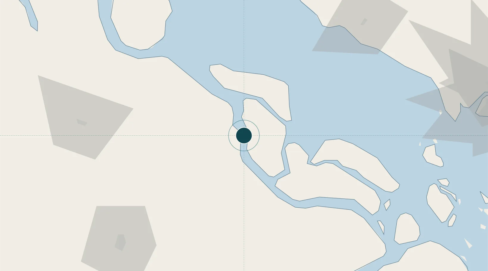
Location
Nearby Logistics Neighbours
Ports
- 1Sungaipakning19 km
- 2Bengkalis34 km
- 3Dumai102 km
- 4Muar104 km
- 5Melaka113 km
Cities
- 1Pelabuhan Futong Terminal46 km
- 2Perawang73 km
- 3Perawang85 km
- 4Sungai Udang Port119 km
- 5Sungai Udang120 km
Airports
Trade Zones
DatabookThe Record of Consolidated Knowledge
Indonesia beyond logistics?