Free Trade Zone · Malaysia

Batu Berendam Free Industrial Zone Phases I,Ii,Iii Active
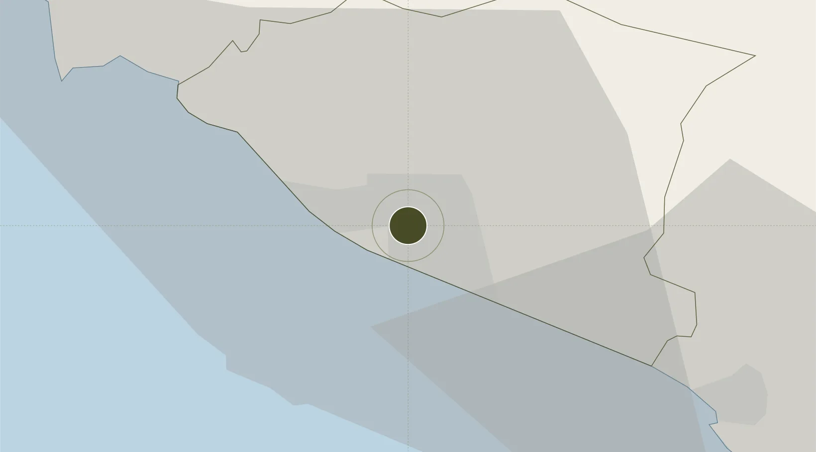
2.2419°, 102.2316°
108 ha
Zone area
5.1 km
Nearest port
3.5 km
Nearest airport

Gateway access

Nearest neighbours — logibook spatial index (haversine) over the source coordinates

Zone profile

Zone type
Free Trade Zone
Open Zone Map
Region
Melaka
Open Zone Map
Status
Active
Open Zone Map
Management
Public
Open Zone Map
Operator
Historic Melacca City Council
Open Zone Map
Legal framework
Free Zones Act of 1990 (Act 438)
Open Zone Map

Location

Location of ozm-2800
Natural Earth 10m (public domain) · Melaka · ozm-2800 · 2.24, 102.23GoogleOSMYandex

Nearby Logistics Neighbours

Ports
  1. 1Melaka5 km
  2. 2Pelabuhan Sungai Udang11 km
  3. 3Muar43 km
  4. 4Port Dickson59 km
  5. 5Bengkalis87 km
Nearest neighbours — logibook spatial index (haversine) over the source coordinates
Airports
  1. 1Malacca International Airport4 km
  2. 2Kuala Lumpur International Airport81 km
  3. 3Pinang Kampai Airport113 km
  4. 4Kluang Airport122 km
  5. 5Sultan Abdul Aziz Shah International Airport125 km
Nearest neighbours — logibook spatial index (haversine) over the source coordinates
Cities
  1. 1Sungai Udang Port11 km
  2. 2Alor Gajah14 km
  3. 3Sungai Udang17 km
  4. 4Rembau41 km
  5. 5Senawang59 km
Nearest neighbours — logibook spatial index (haversine) over the source coordinates
Trade Zones
  1. 1Ayer Keroh Business Industrial Park5 km
  2. 2Tanjung Kling Free Industrial Zone9 km
  3. 3Pedas Halal Park (Miel)41 km
  4. 4Senawang Industrial Park57 km
  5. 5Galla Industrial Park66 km
Nearest neighbours — logibook spatial index (haversine) over the source coordinates
DatabookThe Record of Consolidated Knowledge
Malaysia beyond logistics?
Browse databook

All Sources

Trade ZonesOpen Zone Map
CC BY
Portsthe NGA World Port Index
Public domain (US gov)
AirportsOurAirports
Public domain
LocationsUN/LOCODE
UN/LOCODE — free
← Malaysia trade zones