Small airport · Indonesia

Nop Goliat Dekai AirportDEX
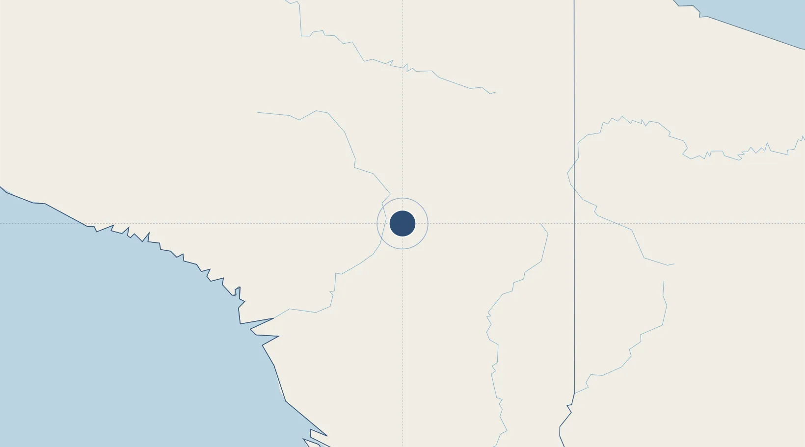
-4.8557°, 139.4820°
6,398 ft
Longest runway
1
Runways
198 ft
Elevation

Runway & Layout

Nop Goliat Dekai Airport runway & taxiway layout
Runway & taxiway layout — OpenStreetMap (ODbL) / OurAirports

Runways · 1

RunwayDimensions SurfaceTrue headingLit
07/25 6,398 × 98ft Asphalt
OurAirports

Airport Specifications

IATA code
DEX
OurAirports
ICAO code
WAVD
OurAirports
Airport class
Small airport
OurAirports
Scheduled service
Yes
OurAirports
Runway surface
Asphalt
OurAirports
Served city
Dekai
OurAirports

Location

Location of DEX
Natural Earth 10m (public domain) · Papua · DEX · -4.86, 139.48GoogleOSMYandex

Nearby Logistics Neighbours

Airports
  1. 1Suntamon Airport77 km
  2. 2Alemson Airstrip82 km
  3. 3Wamena Airport103 km
  4. 4Awimbon Airstrip105 km
  5. 5Kirimu Airstrip110 km
Nearest neighbours — logibook spatial index (haversine) over the source coordinates
Cities
  1. 1Asike225 km
  2. 2Kassue238 km
  3. 3Demta290 km
  4. 4Jayapura, Irian Jaya291 km
  5. 5Pomako301 km
Nearest neighbours — logibook spatial index (haversine) over the source coordinates
Ports
  1. 1Amamapare279 km
  2. 2Vanimo303 km
  3. 3Merauke416 km
  4. 4Wewak Harbor482 km
  5. 5Daru623 km
Nearest neighbours — logibook spatial index (haversine) over the source coordinates
Trade Zones
  1. 1Sandaun Special Economic Zone188 km
  2. 2Western Province Special Economic Zone239 km
  3. 3Sepik Special Economic Zone255 km
  4. 4Vanimo Special Economic Zone313 km
  5. 5Manus Special Economic Zone547 km
Nearest neighbours — logibook spatial index (haversine) over the source coordinates
DatabookThe Record of Consolidated Knowledge
Indonesia beyond logistics?
Browse databook

All Sources

AirportsOurAirports
Public domain
Portsthe NGA World Port Index
Public domain (US gov)
LocationsUN/LOCODE
UN/LOCODE — free
Trade Zonesthe World Bank SEZ database
CC BY 4.0
Trade ZonesOpen Zone Map
CC BY
InfrastructureOpenStreetMap
ODbL 1.0
← Indonesia airports