Transport Functions
Port
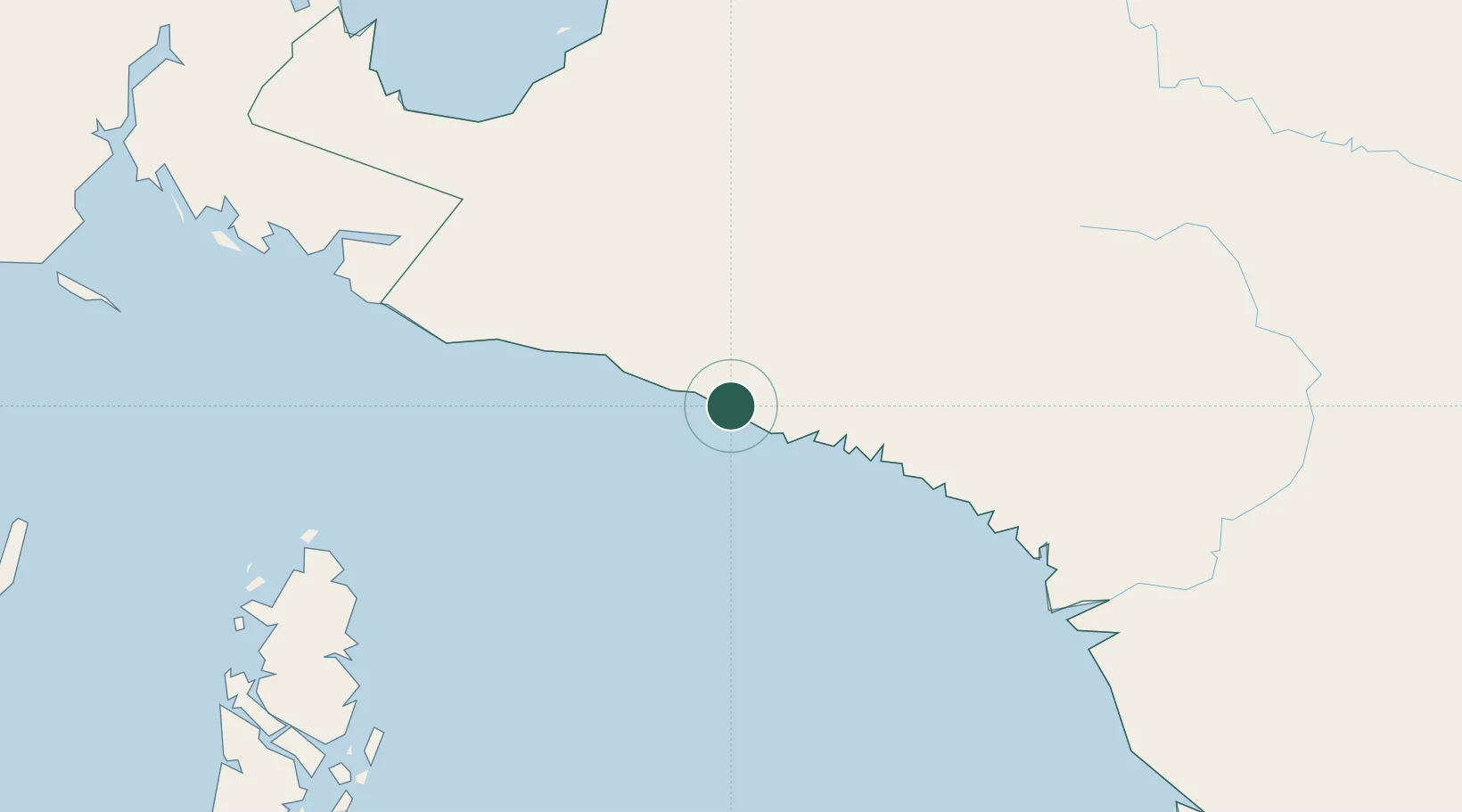
Hub Profile
Place type
Populated place
Region
Central Papua
Population
142,909
Time zone
Asia/Jayapura
Elevation
21 m
Location
Nearby Logistics Neighbours
Ports
- 1Amamapare47 km
- 2Manokwari Road511 km
- 3Fakfak515 km
- 4Vanimo558 km
- 5Merauke593 km
Airports
- 1Mozes Kilangin Airport45 km
- 2Bilorai Airport124 km
- 3Old Nabire Airport193 km
- 4Douw Aturure Airport198 km
- 5Bokondini Airport264 km
Trade Zones
- 1Western Province Special Economic Zone461 km
- 2Sandaun Special Economic Zone493 km
- 3Sepik Special Economic Zone570 km
- 4Vanimo Special Economic Zone573 km
- 5KEK Sorong720 km
DatabookThe Record of Consolidated Knowledge
Indonesia beyond logistics?