Runway & Layout

Airport Specifications
Airport class
Small airport
Scheduled service
Yes
Served city
Awimbon
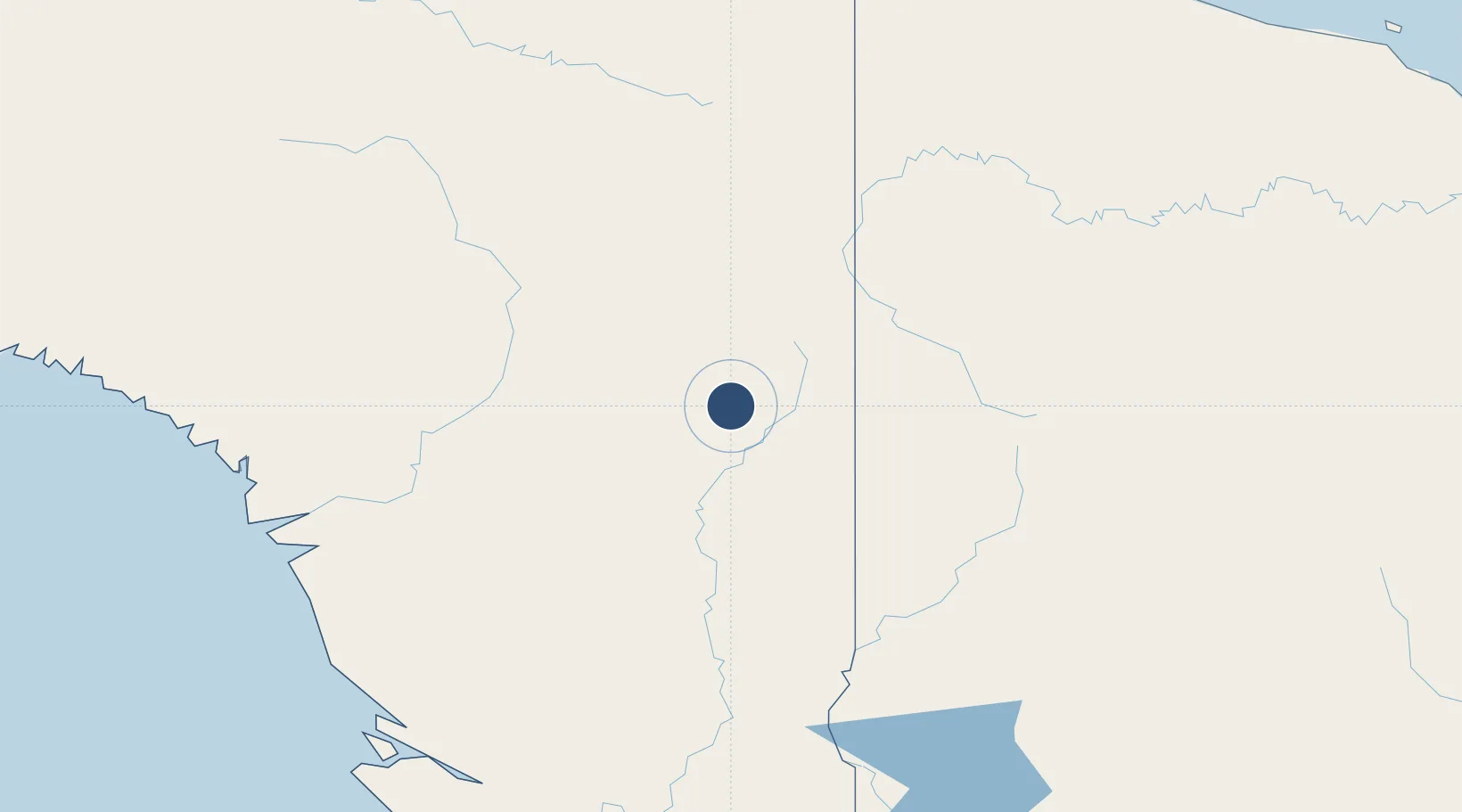
Location
Nearby Logistics Neighbours
Airports
- 1Iwur Airstrip37 km
- 2Oksibil Airport40 km
- 3Alemson Airstrip43 km
- 4Suntamon Airport46 km
- 5Sape Airstrip47 km
Cities
- 1Asike165 km
- 2Kassue240 km
- 3Aiambak262 km
- 4Jayapura, Irian Jaya294 km
- 5Wanam301 km
Ports
- 1Vanimo288 km
- 2Merauke369 km
- 3Amamapare380 km
- 4Wewak Harbor402 km
- 5Daru534 km
Trade Zones
DatabookThe Record of Consolidated Knowledge
Indonesia beyond logistics?