UN/LOCODE hub · Indonesia
IDKBK

Kerobokan

-1.0000°, 120.4167°
1
Transport functions

Transport Functions

Multimodal
UN/LOCODE

Hub Profile

Place type
Populated place
GeoNames
Region
Central Sulawesi
GeoNames
Time zone
Asia/Makassar
GeoNames
Elevation
30 m
GeoNames

Location

Location of IDKBK
Natural Earth 10m (public domain) · Central Sulawesi · IDKBK · -1.00, 120.42GoogleOSMYandex

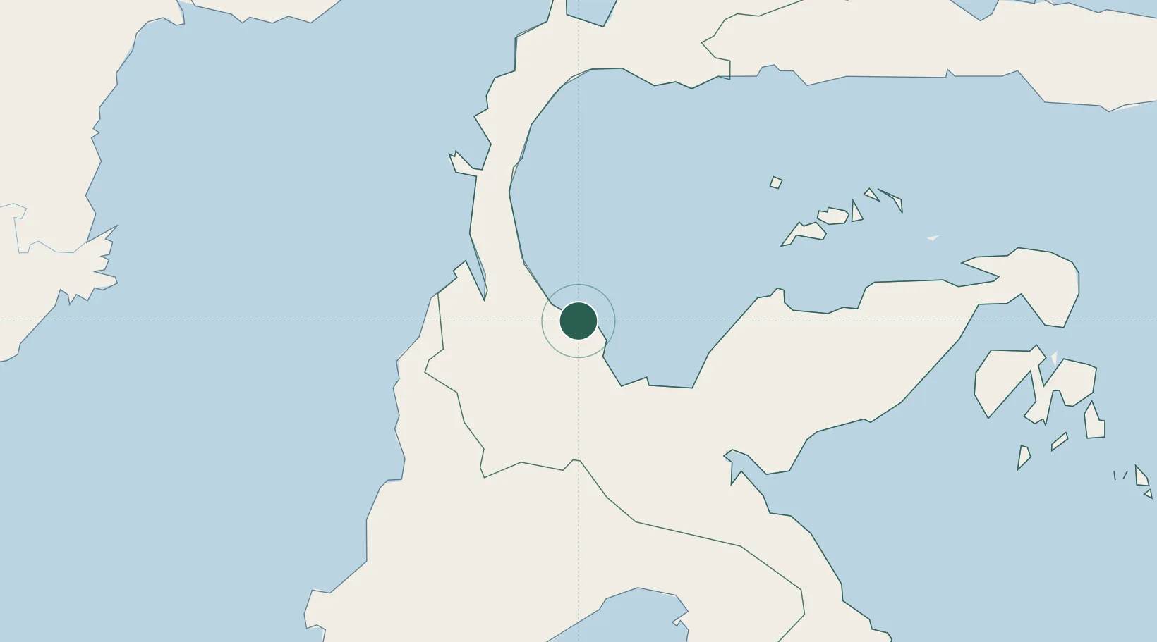
Nearby Logistics Neighbours

Cities
  1. 1Pantoloan, Sv70 km
  2. 2Palu70 km
  3. 3Ampana131 km
  4. 4Kolonodale148 km
  5. 5Morowali154 km
Nearest neighbours — logibook spatial index (haversine) over the source coordinates
Ports
  1. 1Poso55 km
  2. 2Kolonodale150 km
  3. 3Luwuk265 km
  4. 4Tanjung Santan336 km
  5. 5Gorontalo337 km
Nearest neighbours — logibook spatial index (haversine) over the source coordinates
Airports
  1. 1Kasiguncu Airport53 km
  2. 2Mutiara - SIS Al-Jufrie Airport57 km
  3. 3Tanjung Api Airport136 km
  4. 4Maleo Airport192 km
  5. 5Bua - Palopo Lagaligo Airport232 km
Nearest neighbours — logibook spatial index (haversine) over the source coordinates
Trade Zones
  1. 1Palu Special Economic Zone69 km
  2. 2Morowali Industrial Park280 km
  3. 3Maloy Batuta Trans Kalimantan Special Economic Zone342 km
  4. 4Kaltim Industrial Estate353 km
  5. 5Kariangau Industrial Estate398 km
Nearest neighbours — logibook spatial index (haversine) over the source coordinates
DatabookThe Record of Consolidated Knowledge
Indonesia beyond logistics?
Browse databook

All Sources

LocationsUN/LOCODE
UN/LOCODE — free
Portsthe NGA World Port Index
Public domain (US gov)
AirportsOurAirports
Public domain
Trade Zonesthe World Bank SEZ database
CC BY 4.0
Trade ZonesOpen Zone Map
CC BY
← Indonesia locations