Channel & Berth Profile
Pilotage, Tugs & Services
Pilotage compulsoryNO
Pilotage availableYES
Tug assistanceYES
Potable waterYES
MedicalYES
Facilities & Capabilities
Container—
Ro-Ro—
Liquid bulk—
Dry bulk—
Oil terminal—
Break bulk—
Dry dock—
RepairsNO
BunkeringYES
Rail link—
Dangerous cargo—
ISPS security—
Harbour Specifications
Harbour size
Very Small
Harbour type
Open Roadstead
Shelter
Good
Water body
Makassar Strait; South Pacific Ocean
Tidal range
1 m
Pilotage
No
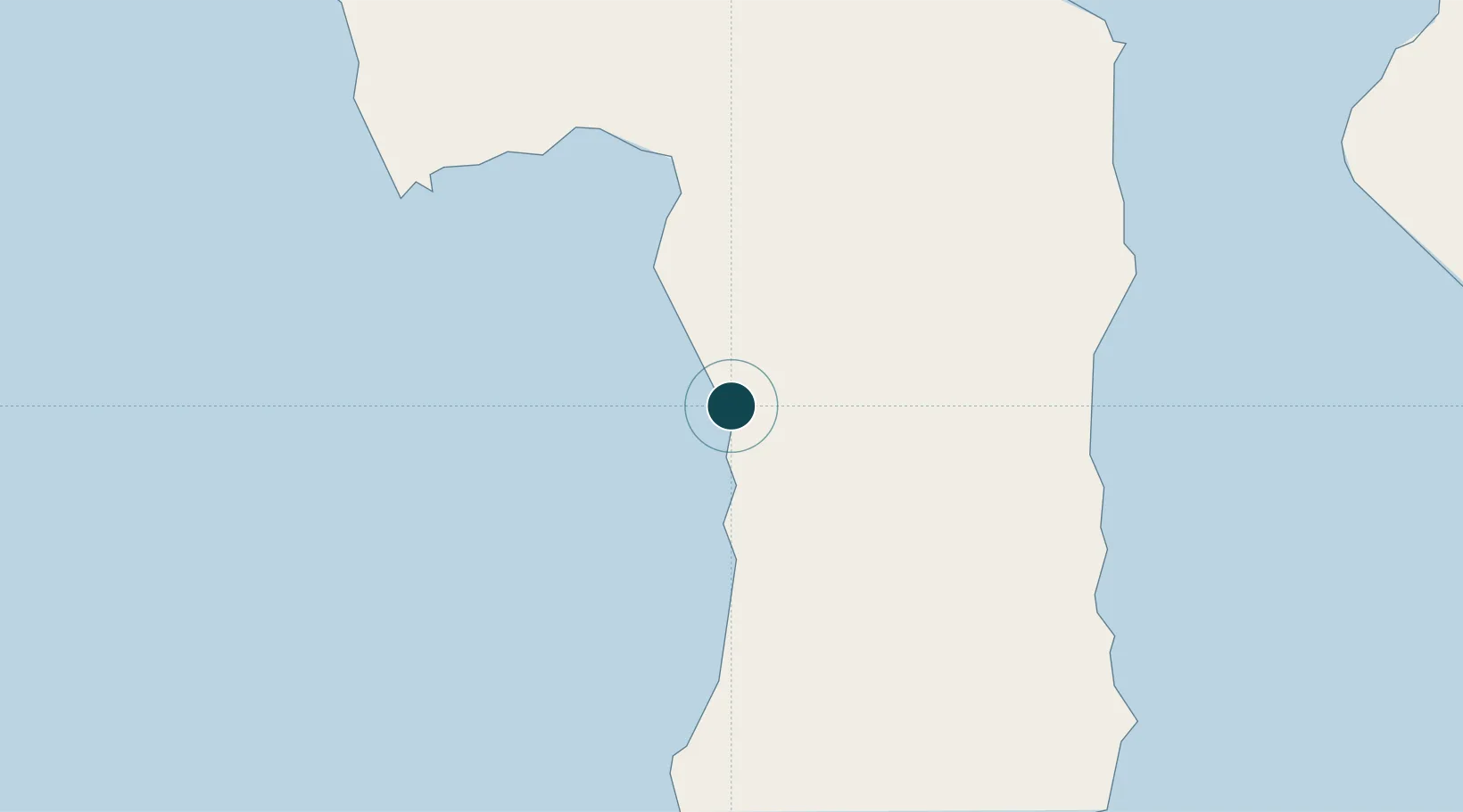
Location
Nearby Logistics Neighbours
Ports
- 1Ujung Pandang128 km
- 2Pomalaa221 km
- 3Kolonodale294 km
- 4Poso319 km
- 5Kendari329 km
Cities
- 1Biringkassi92 km
- 2Palapo, Sulawesi123 km
- 3Makassar124 km
- 4Panakukang134 km
- 5Shahriar134 km
Airports
Trade Zones
- 1Kawasan Industri Makassar124 km
- 2Terpadu Takalar Industrial Estate165 km
- 3Bantaeng Industrial Park (BIP)169 km
- 4Morowali Industrial Park311 km
- 5Palu Special Economic Zone367 km
DatabookThe Record of Consolidated Knowledge
Indonesia beyond logistics?