Transport Functions
Port
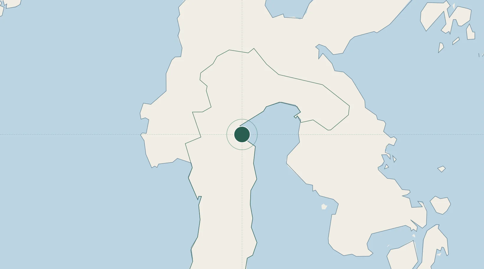
Location
Nearby Logistics Neighbours
Cities
- 1Kolonodale174 km
- 2Kolaka183 km
- 3Pomalaa, Sulawesi183 km
- 4Morowali195 km
- 5Biringkassi210 km
Ports
- 1Parepare123 km
- 2Kolonodale173 km
- 3Pomalaa194 km
- 4Poso199 km
- 5Ujung Pandang246 km
Airports
- 1Bua - Palopo Lagaligo Airport1 km
- 2Toraja Airport37 km
- 3Maleo Airport187 km
- 4Kasiguncu Airport192 km
- 5Sangia Nibandera Airport200 km
Trade Zones
- 1Morowali Industrial Park216 km
- 2Kawasan Industri Makassar239 km
- 3Palu Special Economic Zone267 km
- 4Bantaeng Industrial Park (BIP)268 km
- 5Terpadu Takalar Industrial Estate280 km
DatabookThe Record of Consolidated Knowledge
Indonesia beyond logistics?