Transport Functions
Multimodal
Hub Profile
Place type
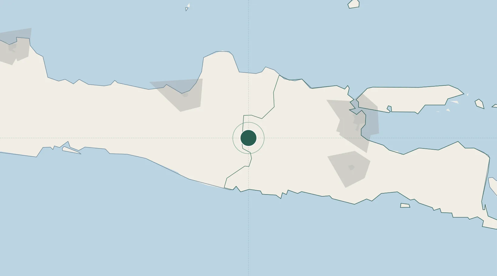
Populated place
Region
East Java
Time zone
Asia/Jakarta
Elevation
291 m
Location
Nearby Logistics Neighbours
Cities
- 1Sragen30 km
- 2Karanganyar35 km
- 3Sukoharjo50 km
- 4Cepu58 km
- 5Klaten77 km
Airports
Trade Zones
- 1Jatengland Industrial Park Sayung106 km
- 2Terboyo Industrial Estate111 km
- 3Tuban Industrial Estate112 km
- 4Tanjung Emas Export Processing Zone115 km
- 5Candi Industrial Estate117 km
DatabookThe Record of Consolidated Knowledge
Indonesia beyond logistics?