Transport Functions
Multimodal
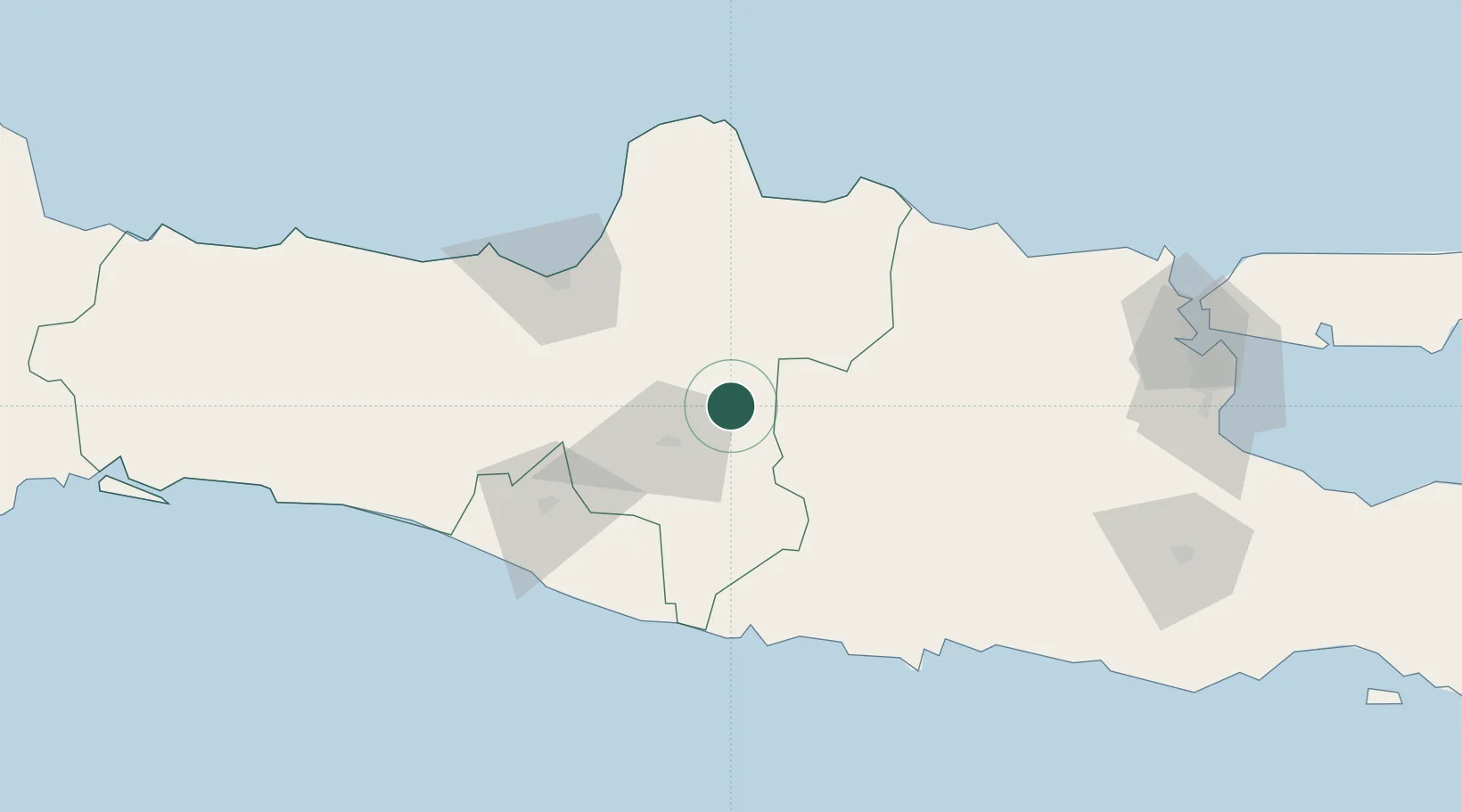
Hub Profile
Place type
Provincial seat
Region
Central Java
Population
71,522
Time zone
Asia/Jakarta
Elevation
90 m
Location
Nearby Logistics Neighbours
Cities
- 1Karanganyar19 km
- 2Kendal30 km
- 3Sukoharjo36 km
- 4Karangjati (Kodya Salatiga)55 km
- 5Tawangsari56 km
Ports
- 1Semarang87 km
- 2Rembang89 km
- 3Tuban146 km
- 4Pekalongan161 km
- 5Gresik181 km
Airports
Trade Zones
DatabookThe Record of Consolidated Knowledge
Indonesia beyond logistics?