Transport Functions
Multimodal
Hub Profile
Place type
Provincial seat
Region
Central Java
Population
126,831
Time zone
Asia/Jakarta
Elevation
159 m
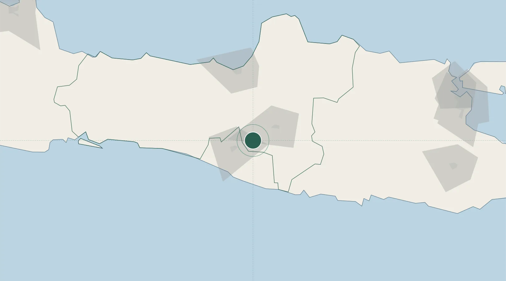
Location
Nearby Logistics Neighbours
Cities
- 1Krapyak21 km
- 2Yogyakarta26 km
- 3Sukoharjo28 km
- 4Jogja Inland Port31 km
- 5Bantul35 km
Ports
- 1Semarang85 km
- 2Pekalongan136 km
- 3Rembang140 km
- 4Cilacap175 km
- 5Tegal186 km
Airports
Trade Zones
DatabookThe Record of Consolidated Knowledge
Indonesia beyond logistics?