Transport Functions
Multimodal
Hub Profile
Place type
Provincial seat
Region
Central Java
Time zone
Asia/Jakarta
Elevation
103 m
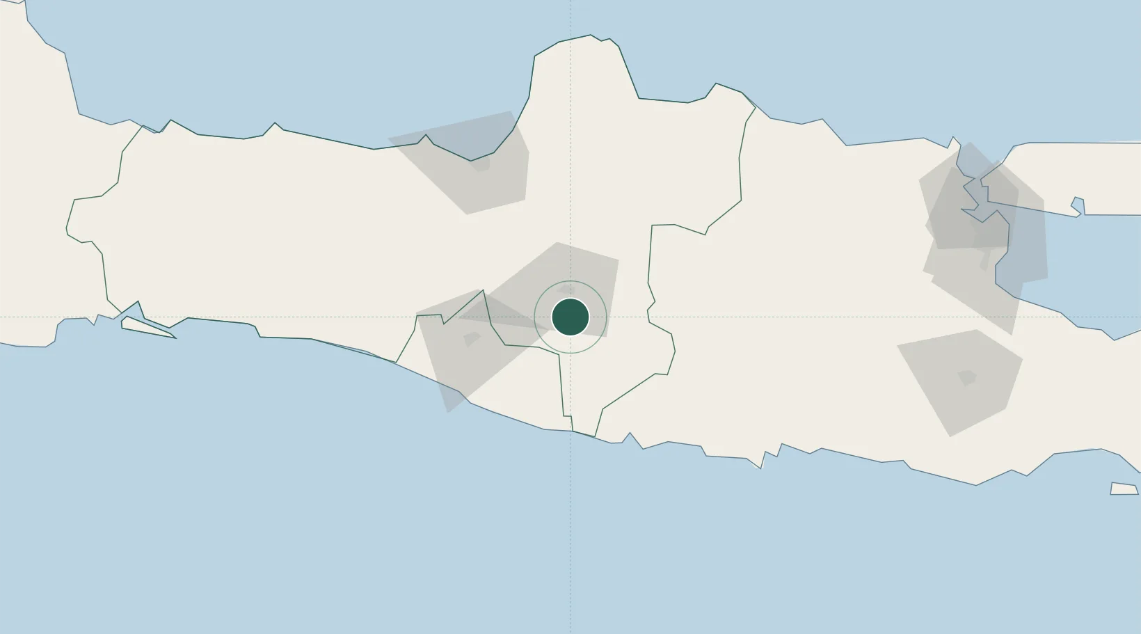
Location
Nearby Logistics Neighbours
Cities
- 1Karanganyar17 km
- 2Klaten28 km
- 3Sragen36 km
- 4Krapyak48 km
- 5Kendal50 km
Ports
- 1Semarang94 km
- 2Rembang123 km
- 3Pekalongan156 km
- 4Tuban180 km
- 5Cilacap202 km
Airports
Trade Zones
DatabookThe Record of Consolidated Knowledge
Indonesia beyond logistics?