UN/LOCODE hub · Indonesia
IDKGY

Karanganyar

-7.5833°, 110.9500°
1
Transport functions

Transport Functions

Multimodal
UN/LOCODE

Hub Profile

Place type
Provincial seat
GeoNames
Region
Central Java
GeoNames
Time zone
Asia/Jakarta
GeoNames
Elevation
157 m
GeoNames

Location

Location of IDKGY
Natural Earth 10m (public domain) · Central Java · IDKGY · -7.58, 110.95GoogleOSMYandex

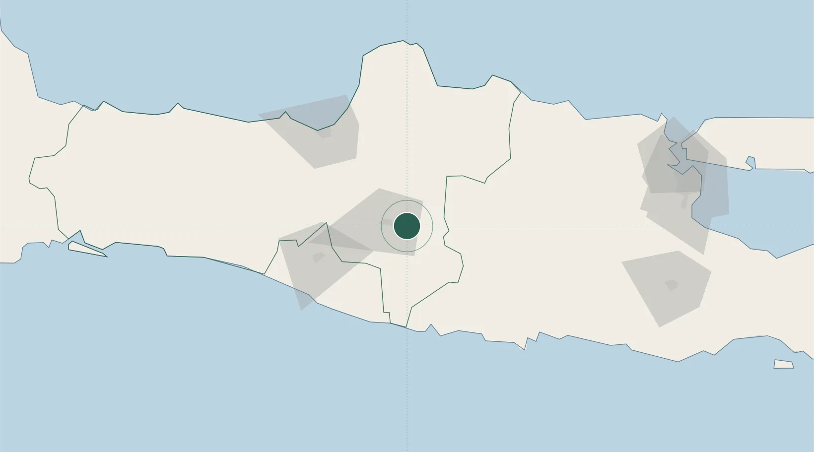
Nearby Logistics Neighbours

Cities
  1. 1Sukoharjo17 km
  2. 2Sragen19 km
  3. 3Kendal35 km
  4. 4Klaten42 km
  5. 5Karangjati (Kodya Salatiga)55 km
Nearest neighbours — logibook spatial index (haversine) over the source coordinates
Ports
  1. 1Semarang92 km
  2. 2Rembang108 km
  3. 3Pekalongan160 km
  4. 4Tuban163 km
  5. 5Gresik194 km
Nearest neighbours — logibook spatial index (haversine) over the source coordinates
Airports
  1. 1Adisumarmo Airport23 km
  2. 2Adisutjipto International Airport62 km
  3. 3Jenderal Ahmad Yani Airport93 km
  4. 4Yogyakarta International Airport105 km
  5. 5Dhoho International Airport112 km
Nearest neighbours — logibook spatial index (haversine) over the source coordinates
Trade Zones
  1. 1Jatengland Industrial Park Sayung85 km
  2. 2Terboyo Industrial Estate88 km
  3. 3Tanjung Emas Export Processing Zone91 km
  4. 4Bukit Semarang Baru Industrial Park91 km
  5. 5Candi Industrial Estate92 km
Nearest neighbours — logibook spatial index (haversine) over the source coordinates
DatabookThe Record of Consolidated Knowledge
Indonesia beyond logistics?
Browse databook

All Sources

LocationsUN/LOCODE
UN/LOCODE — free
Portsthe NGA World Port Index
Public domain (US gov)
AirportsOurAirports
Public domain
Trade Zonesthe World Bank SEZ database
CC BY 4.0
Trade ZonesOpen Zone Map
CC BY
← Indonesia locations