Medium airport · Indonesia

Karel Sadsuitubun AirportWAPF
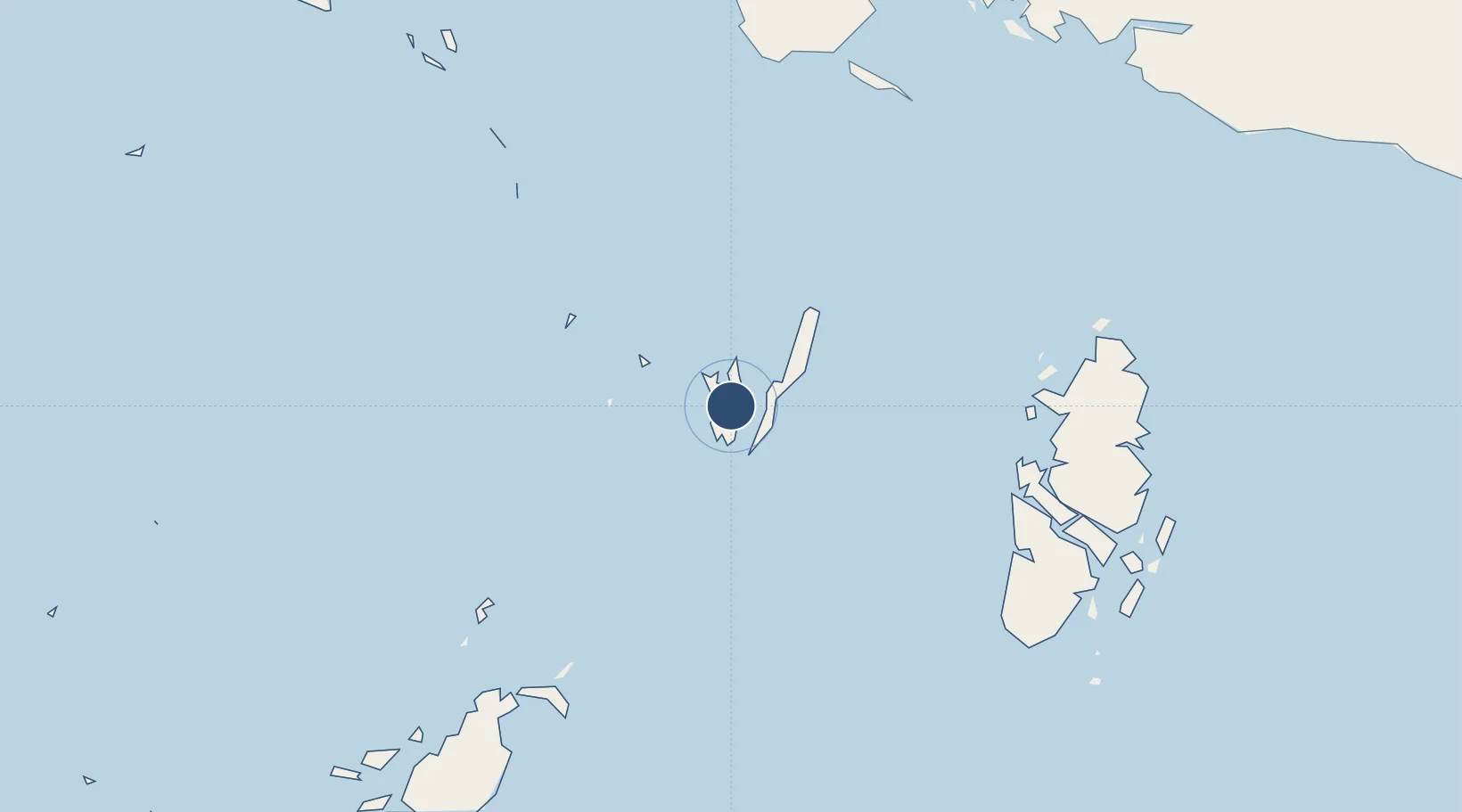
-5.7603°, 132.7594°
7,710 ft
Longest runway
1
Runways
78 ft
Elevation

Runway & Layout

Karel Sadsuitubun Airport runway & taxiway layout
Runway & taxiway layout — OpenStreetMap (ODbL) / OurAirports

Runways · 1

RunwayDimensions SurfaceTrue headingLit
13/31 7,710 × —ft Asphalt
OurAirports

Airport Specifications

IATA code
LUV
OurAirports
ICAO code
WAPF
OurAirports
Airport class
Medium airport
OurAirports
Scheduled service
Yes
OurAirports
Runway surface
Asphalt
OurAirports
Served city
Langgur
OurAirports

Location

Location of WAPF
Natural Earth 10m (public domain) · Maluku · WAPF · -5.76, 132.76GoogleOSMYandex

Nearby Logistics Neighbours

Airports
  1. 1Utarom Airport257 km
  2. 2Mathilda Batlayeri Airport280 km
  3. 3Fakfak Airport321 km
  4. 4Babo Airport367 km
  5. 5Douw Aturure Airport393 km
Nearest neighbours — logibook spatial index (haversine) over the source coordinates
Cities
  1. 1Tual14 km
  2. 2Elat41 km
  3. 3Dobo161 km
  4. 4Angar317 km
  5. 5Kokas342 km
Nearest neighbours — logibook spatial index (haversine) over the source coordinates
Ports
  1. 1Saumlaki295 km
  2. 2Fakfak319 km
  3. 3Bula388 km
  4. 4Amamapare478 km
  5. 5Wahai490 km
Nearest neighbours — logibook spatial index (haversine) over the source coordinates
Trade Zones
  1. 1KEK Sorong552 km
  2. 2Western Province Special Economic Zone822 km
  3. 3Atauro Special Economic Zone836 km
  4. 4Sandaun Special Economic Zone927 km
  5. 5Sepik Special Economic Zone1002 km
Nearest neighbours — logibook spatial index (haversine) over the source coordinates
DatabookThe Record of Consolidated Knowledge
Indonesia beyond logistics?
Browse databook

All Sources

AirportsOurAirports
Public domain
Portsthe NGA World Port Index
Public domain (US gov)
LocationsUN/LOCODE
UN/LOCODE — free
Trade Zonesthe World Bank SEZ database
CC BY 4.0
Trade ZonesOpen Zone Map
CC BY
InfrastructureOpenStreetMap
ODbL 1.0
← Indonesia airports