Transport Functions
Port
Hub Profile
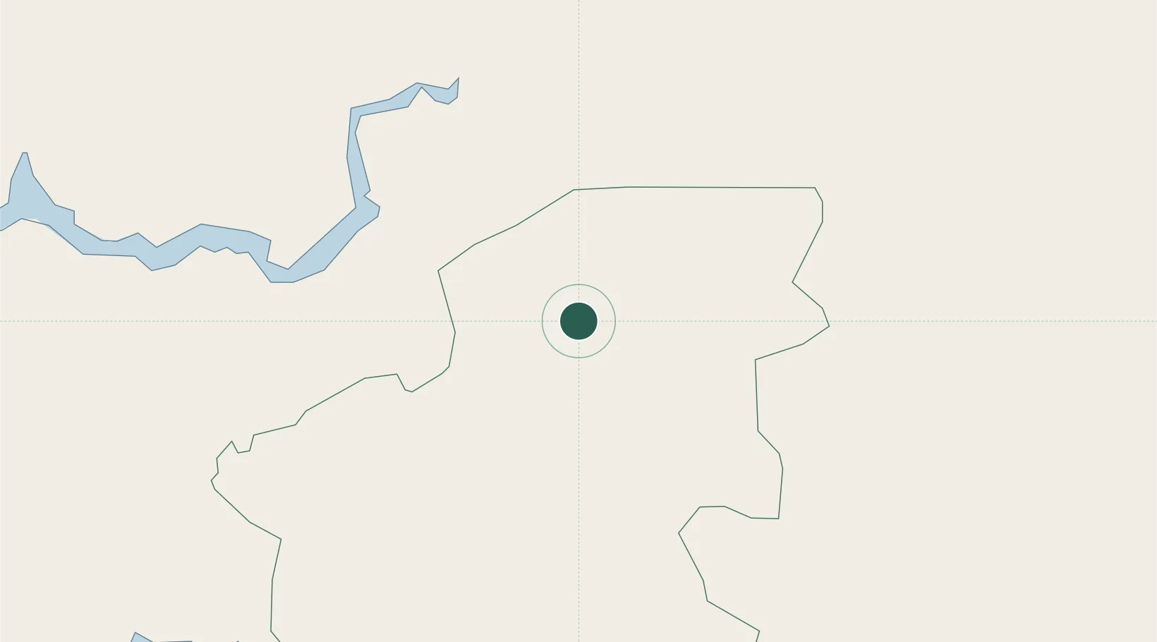
Place type
Regional capital
Region
Oio
Population
10,207
Time zone
Africa/Bissau
Elevation
8 m
Location
Nearby Logistics Neighbours
Ports
- 1Bissau82 km
- 2Rio Cacheu113 km
- 3Banjul182 km
- 4Lyndiane214 km
- 5Kamsar216 km
Airports
- 1Osvaldo Vieira International Airport81 km
- 2Ziguinchor Airport116 km
- 3Cap Skirring Airport167 km
- 4Banjul International Airport182 km
- 5Kaolack Airport206 km
Trade Zones
DatabookThe Record of Consolidated Knowledge
Guinea-Bissau beyond logistics?