Transport Functions
Multimodal
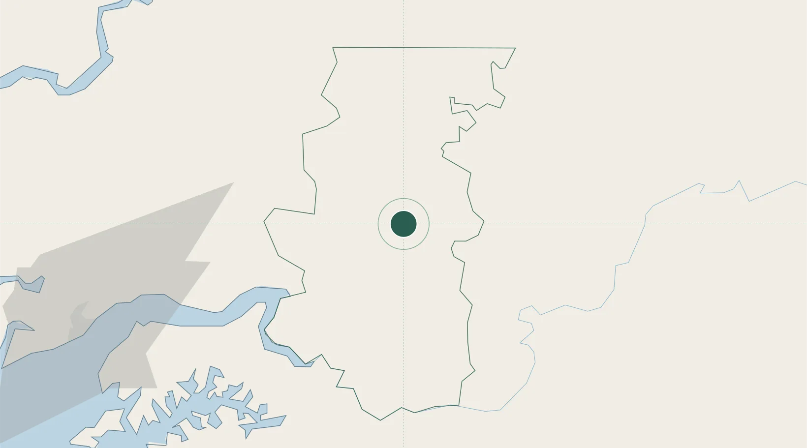
Hub Profile
Place type
Regional capital
Region
Bafatá
Population
33,502
Time zone
Africa/Bissau
Elevation
20 m
Location
Nearby Logistics Neighbours
Ports
- 1Bissau110 km
- 2Kamsar171 km
- 3Rio Cacheu171 km
- 4Banjul251 km
- 5Lyndiane275 km
Airports
- 1Osvaldo Vieira International Airport112 km
- 2Ziguinchor Airport181 km
- 3Tambacounda Airport206 km
- 4Cap Skirring Airport228 km
- 5Banjul International Airport252 km
Trade Zones
DatabookThe Record of Consolidated Knowledge
Guinea-Bissau beyond logistics?