Medium airport · Senegal

Tambacounda AirportGOTT
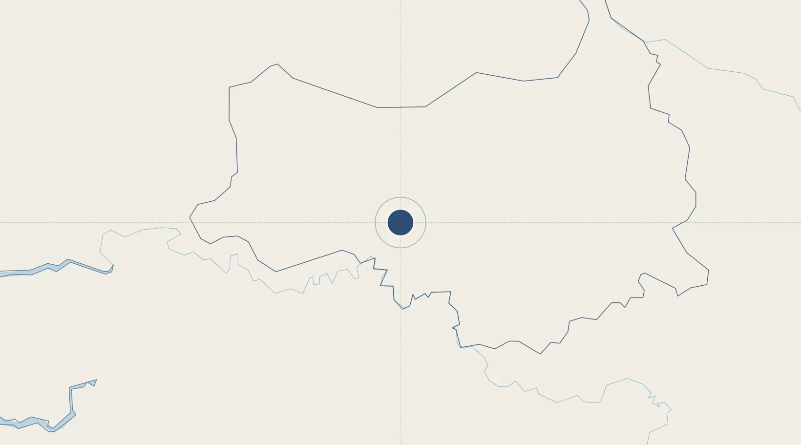
13.7368°, -13.6531°
6,562 ft
Longest runway
1
Runways
161 ft
Elevation

Runway & Layout

Tambacounda Airport runway & taxiway layout
Runway & taxiway layout — OpenStreetMap (ODbL) / OurAirports

Radio Frequencies

A/G
568 MHz
RDO
AFIS
118.7 MHz
AFIS INFO
OurAirports

Navaids

STD NDB Tambacounda 370 kHz
TD VOR Tambacounda 114.50 MHz
OurAirports

Runways · 1

RunwayDimensions SurfaceTrue headingLit
06/24 6,562 × 98ft Asphalt 049°
OurAirports

Airport Specifications

IATA code
TUD
OurAirports
ICAO code
GOTT
OurAirports
Airport class
Medium airport
OurAirports
Scheduled service
No
OurAirports
Runway surface
Asphalt
OurAirports
Served city
Tambacounda
OurAirports

Location

Location of GOTT
Natural Earth 10m (public domain) · Tambacounda · GOTT · 13.74, -13.65GoogleOSMYandex

Nearby Logistics Neighbours

Airports
  1. 1Bakel Airport178 km
  2. 2Kédougou Airport202 km
  3. 3Ouro Sogui Airport210 km
  4. 4Kayes Dag Dag Airport257 km
  5. 5Kaolack Airport263 km
Nearest neighbours — logibook spatial index (haversine) over the source coordinates
Cities
  1. 1Bafatá206 km
  2. 2Farim219 km
  3. 3Binta232 km
  4. 4Canjaja238 km
  5. 5Korouma242 km
Nearest neighbours — logibook spatial index (haversine) over the source coordinates
Ports
  1. 1Lyndiane275 km
  2. 2Bissau299 km
  3. 3Banjul317 km
  4. 4Rio Cacheu323 km
  5. 5Kamsar361 km
Nearest neighbours — logibook spatial index (haversine) over the source coordinates
Trade Zones
  1. 1Multi-Sectoral Special Economic Zone of Bissau294 km
  2. 2Bolama Free Zone311 km
  3. 3Boké Special Economic Zone324 km
  4. 4Banjul Airport Export Processing Zone327 km
  5. 5GIETAF Special Economic Zone328 km
Nearest neighbours — logibook spatial index (haversine) over the source coordinates
DatabookThe Record of Consolidated Knowledge
Senegal beyond logistics?
Browse databook

All Sources

AirportsOurAirports
Public domain
Portsthe NGA World Port Index
Public domain (US gov)
LocationsUN/LOCODE
UN/LOCODE — free
Trade Zonesthe World Bank SEZ database
CC BY 4.0
Trade ZonesOpen Zone Map
CC BY
InfrastructureOpenStreetMap
ODbL 1.0
← Senegal airports