UN/LOCODE hub · United Kingdom
GBXKK
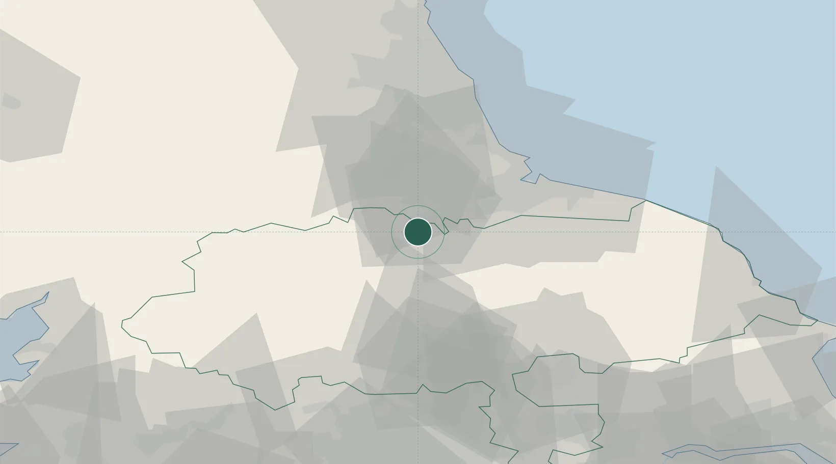
Kirkbymoorside
54.4500°, -1.5500°
2,751
Population
1
Transport functions
Transport Functions
Multimodal
Hub Profile
Place type
Populated place
Region
England
Population
2,751
Time zone
Europe/London
Elevation
67 m
Location
Nearby Logistics Neighbours
Cities
- 1Moulton6 km
- 2Melsonby9 km
- 3Darlington11 km
- 4Hackforth13 km
- 5Egglescliffe15 km
Ports
- 1Teesport35 km
- 2Hartlepool37 km
- 3Seaham45 km
- 4Sunderland53 km
- 5Whitby60 km
Airports
- 1Teesside International Airport10 km
- 2RAF Leeming17 km
- 3RAF Topcliffe30 km
- 4Leeds Bradford Airport65 km
- 5Newcastle International Airport66 km
Trade Zones
DatabookThe Record of Consolidated Knowledge
United Kingdom beyond logistics?