Channel & Berth Profile
Pilotage, Tugs & Services
Pilotage compulsoryYES
Pilotage availableYES
Pilotage advisableYES
Tug assistanceYES
Shore powerYES
Potable waterYES
Diesel bunkersYES
MedicalYES
Garbage disposalYES
Facilities & Capabilities
Container—
Ro-Ro—
Liquid bulk—
Dry bulk—
Oil terminal—
Break bulk—
Dry dockNO
RepairsNO
BunkeringYES
Rail linkYES
Dangerous cargo—
ISPS security—
Harbour Specifications
Harbour size
Medium
Harbour type
River (Tide Gates)
Shelter
Good
Water body
North Sea; North Atlantic Ocean
Tidal range
4 m
Overhead limit
Yes
Pilotage
Yes
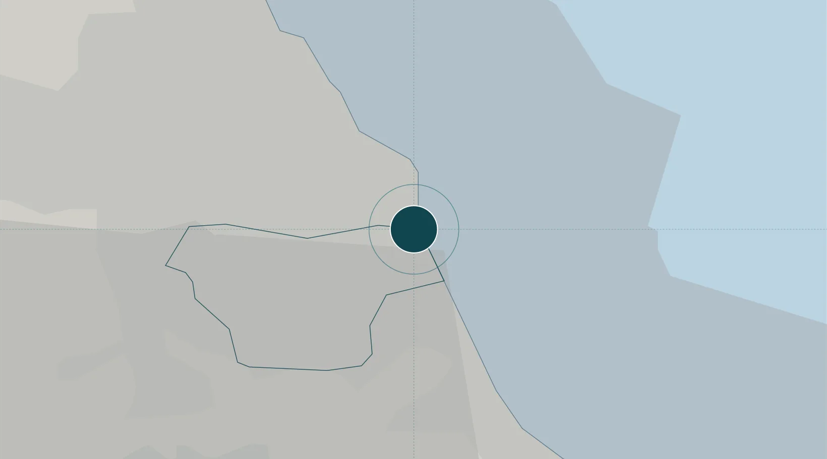
Location
Nearby Logistics Neighbours
Ports
- 1Tynemouth10 km
- 2Seaham10 km
- 3Blyth24 km
- 4Hartlepool27 km
- 5Teesport33 km
Cities
- 1South Shields9 km
- 2Jarrow9 km
- 3Howdon10 km
- 4Monkton10 km
- 5Tyne10 km
Airports
- 1Newcastle International Airport25 km
- 2Teesside International Airport46 km
- 3RAF Leeming70 km
- 4RAF Spadeadam77 km
- 5RAF Topcliffe79 km
Trade Zones
DatabookThe Record of Consolidated Knowledge
United Kingdom beyond logistics?