Large airport · United Kingdom
Newcastle International AirportEGNT
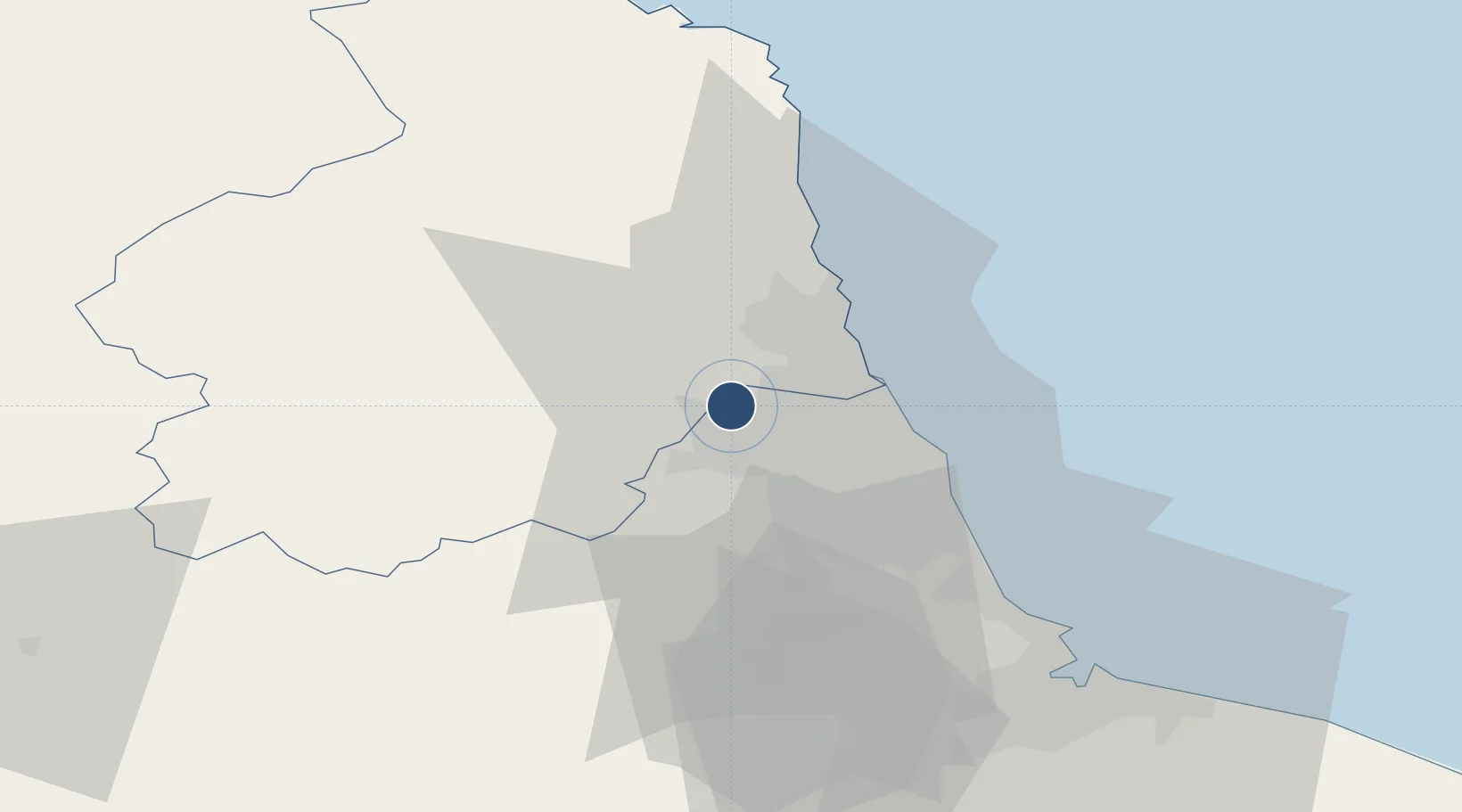
55.0380°, -1.6896°
7,644 ft
Longest runway
1
Runways
266 ft
Elevation
Runway & Layout

Radio Frequencies
ATIS
118.375 MHz
TWR
119.7 MHz
GND
121.725 MHz
APP
124.375 MHz
ILS
111.5 MHz
Runway 07/25 ILS
Navaids
NEW VOR-DME Newcastle 114.25 MHz
Runways · 1
| Runway | Dimensions | Surface | True heading | Lit |
|---|---|---|---|---|
| 07/25 | 7,644 × 148ft | Asphalt | 065° | ✓ |
Airport Specifications
IATA code
NCL
ICAO code
EGNT
Airport class
Large airport
Scheduled service
Yes
Runway surface
Asphalt
Served city
Newcastle upon Tyne, Tyne and Wear
Location
Nearby Logistics Neighbours
Airports
- 1RAF Spadeadam55 km
- 2Teesside International Airport61 km
- 3Carlisle Lake District Airport72 km
- 4RAF Leeming83 km
- 5RAF Topcliffe95 km
Cities
- 1Ryton9 km
- 2Newcastle upon Tyne9 km
- 3Dunston10 km
- 4Fishburn11 km
- 5Walker11 km
Ports
- 1Blyth15 km
- 2Tynemouth19 km
- 3Sunderland25 km
- 4Seaham33 km
- 5Warkworth Harbour34 km
Trade Zones
DatabookThe Record of Consolidated Knowledge
United Kingdom beyond logistics?