Transport Functions
Road
Multimodal
Hub Profile
Place type
Populated place
Region
England
Time zone
Europe/London
Elevation
57 m
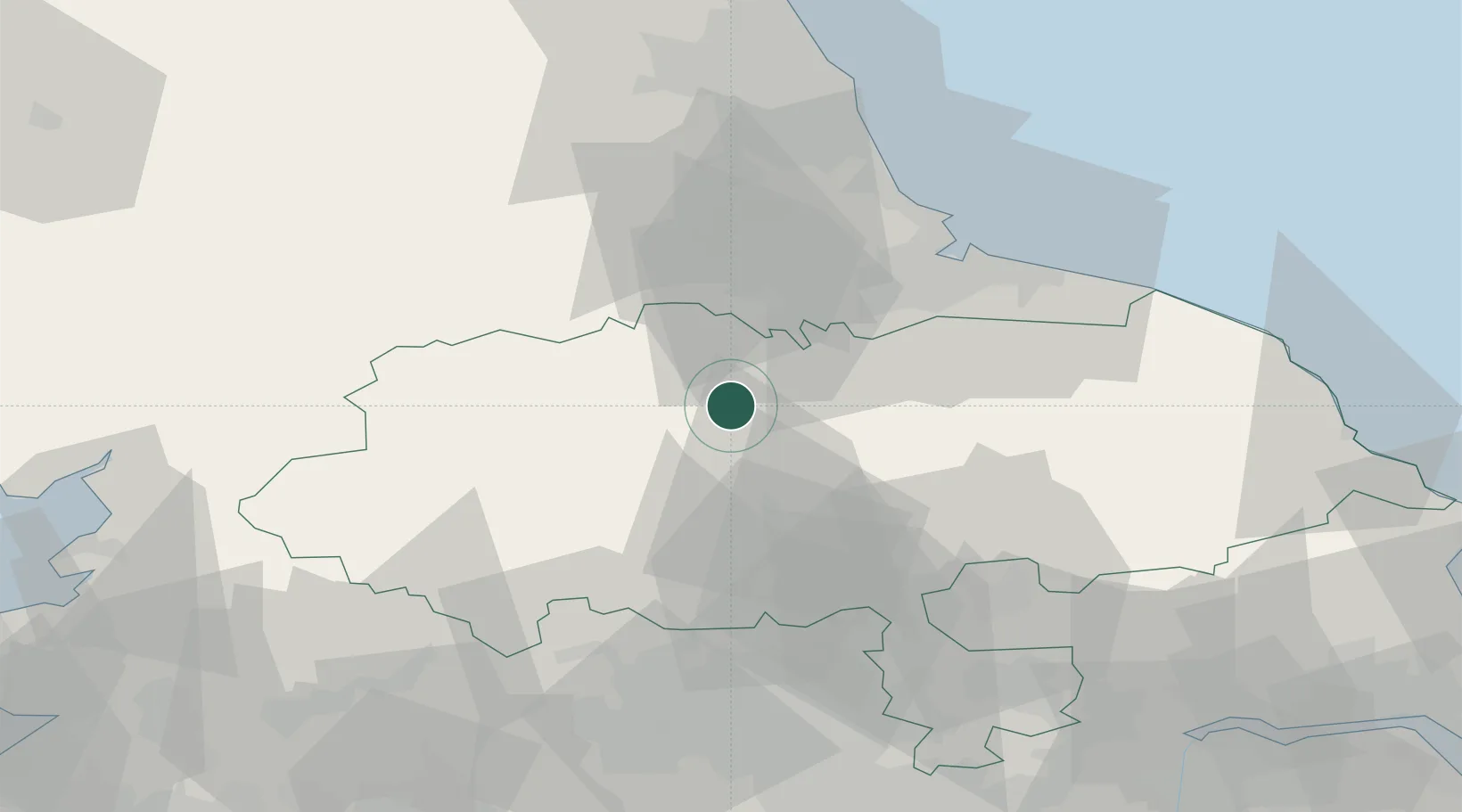
Location
Nearby Logistics Neighbours
Cities
- 1Moulton11 km
- 2Kirkbymoorside13 km
- 3Middleham14 km
- 4Melsonby18 km
- 5Dalton23 km
Ports
- 1Teesport46 km
- 2Hartlepool49 km
- 3Seaham59 km
- 4Whitby66 km
- 5Sunderland67 km
Airports
- 1RAF Leeming6 km
- 2RAF Topcliffe20 km
- 3Teesside International Airport23 km
- 4Leeds Bradford Airport52 km
- 5Leeds East Airport61 km
Trade Zones
DatabookThe Record of Consolidated Knowledge
United Kingdom beyond logistics?