Transport Functions
Multimodal
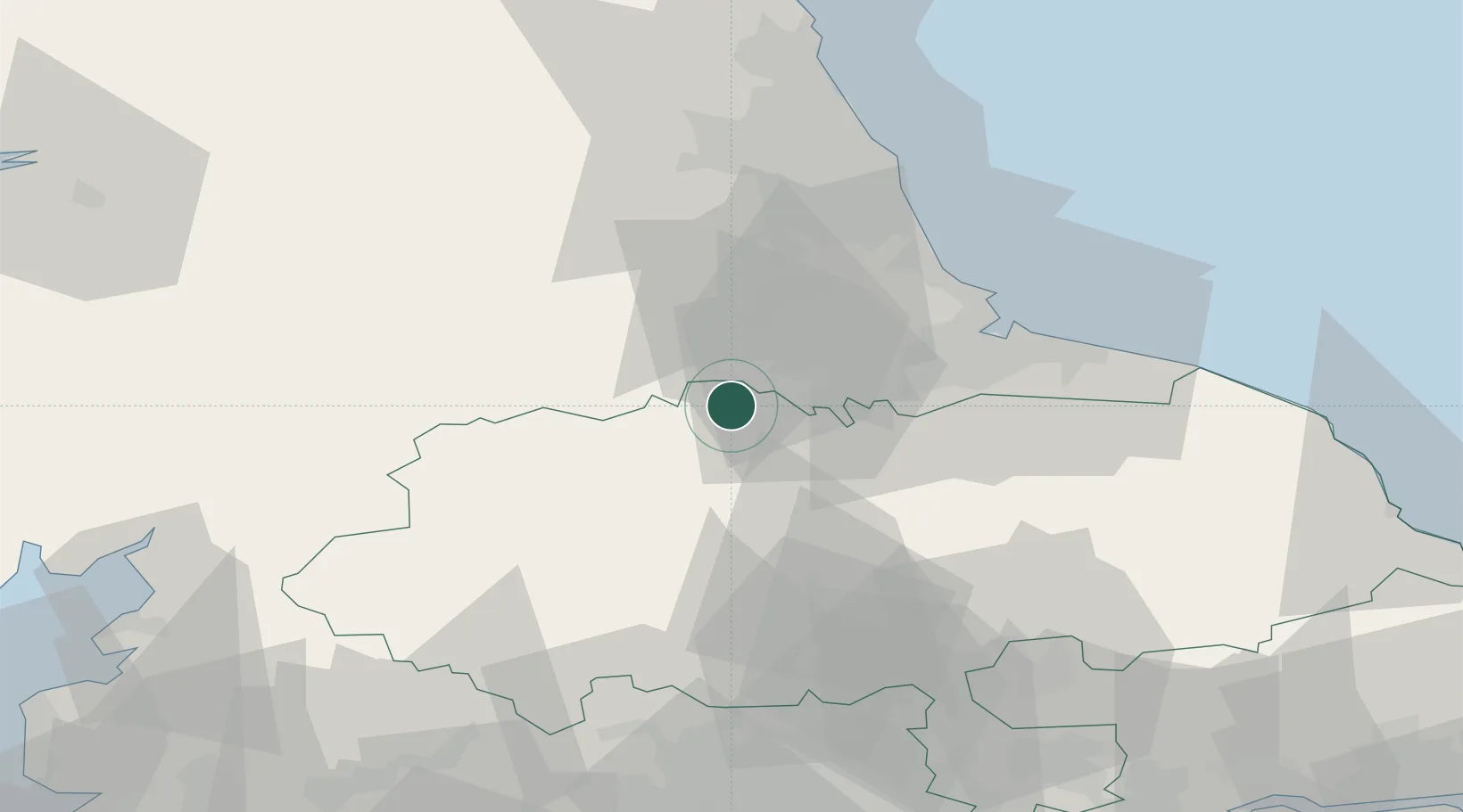
Hub Profile
Place type
Populated place
Region
England
Population
735
Time zone
Europe/London
Elevation
143 m
Location
Nearby Logistics Neighbours
Cities
- 1Moulton6 km
- 2Kirkbymoorside9 km
- 3Darlington13 km
- 4West Auckland17 km
- 5Hackforth18 km
Ports
- 1Teesport40 km
- 2Hartlepool40 km
- 3Seaham46 km
- 4Sunderland52 km
- 5Tynemouth60 km
Airports
- 1Teesside International Airport17 km
- 2RAF Leeming23 km
- 3RAF Topcliffe37 km
- 4Newcastle International Airport62 km
- 5Leeds Bradford Airport69 km
Trade Zones
DatabookThe Record of Consolidated Knowledge
United Kingdom beyond logistics?