Channel & Berth Profile
Pilotage, Tugs & Services
Pilotage compulsoryYES
Pilotage availableYES
Pilotage advisableYES
Tug assistanceYES
Salvage tugsNO
Potable waterYES
Diesel bunkersYES
MedicalYES
Garbage disposalYES
Facilities & Capabilities
Container—
Ro-Ro—
Liquid bulk—
Dry bulk—
Oil terminal—
Break bulk—
Dry dockNO
RepairsNO
BunkeringYES
Rail linkYES
Dangerous cargo—
ISPS security—
Harbour Specifications
Harbour size
Small
Harbour type
Coastal (Tide Gates)
Shelter
Good
Water body
North Sea; North Atlantic Ocean
Tidal range
3 m
Overhead limit
Yes
Pilotage
Yes
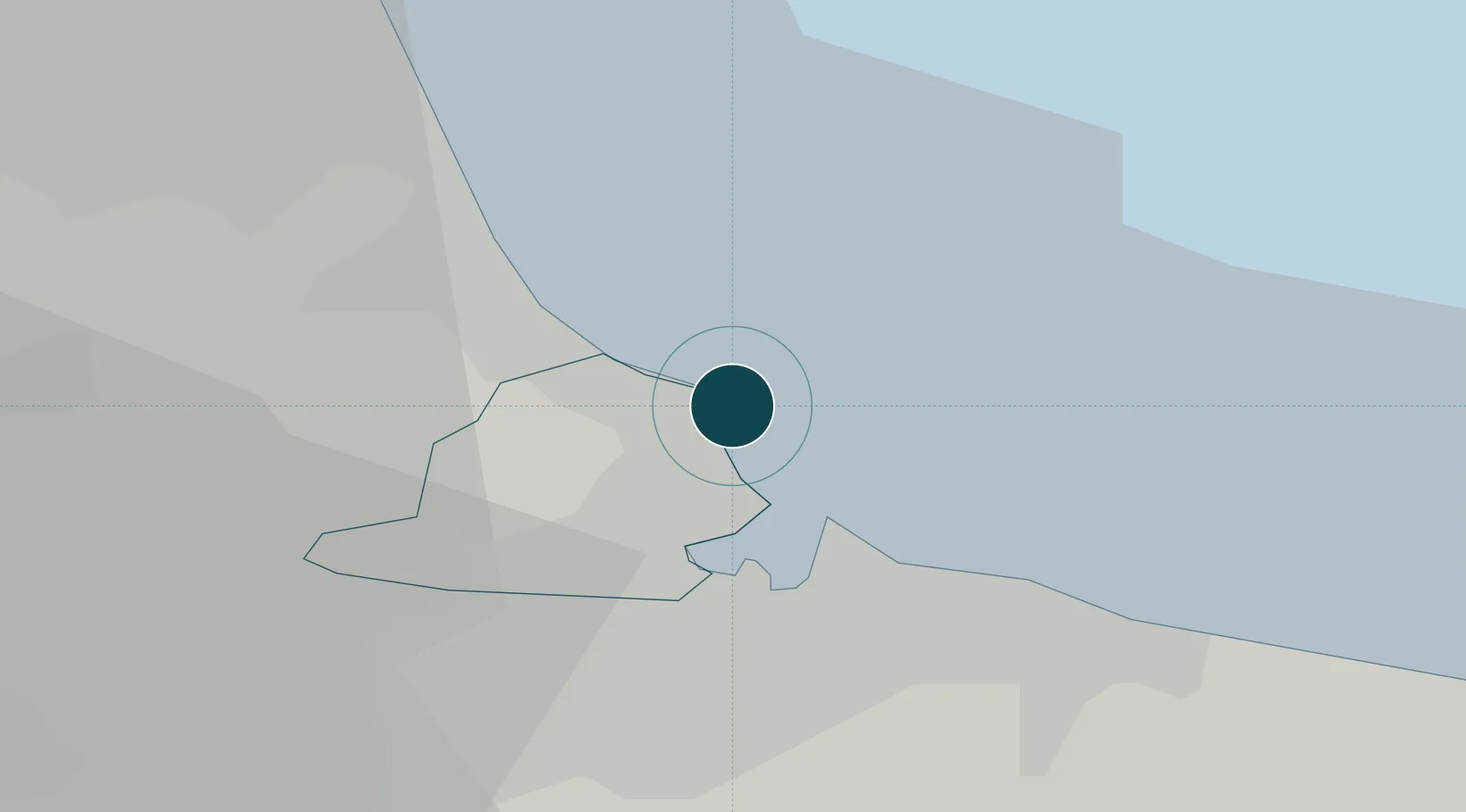
Location
Nearby Logistics Neighbours
Ports
- 1Teesport6 km
- 2Seaham17 km
- 3Sunderland27 km
- 4Tynemouth36 km
- 5Whitby44 km
Cities
- 1Greatham8 km
- 2Seal Sands8 km
- 3Teesport11 km
- 4Middlesbrough13 km
- 5Port Clarence13 km
Airports
- 1Teesside International Airport27 km
- 2Newcastle International Airport50 km
- 3RAF Leeming50 km
- 4RAF Topcliffe57 km
- 5RAF Spadeadam96 km
Trade Zones
DatabookThe Record of Consolidated Knowledge
United Kingdom beyond logistics?