Large airport · United Kingdom

Leeds Bradford AirportEGNM
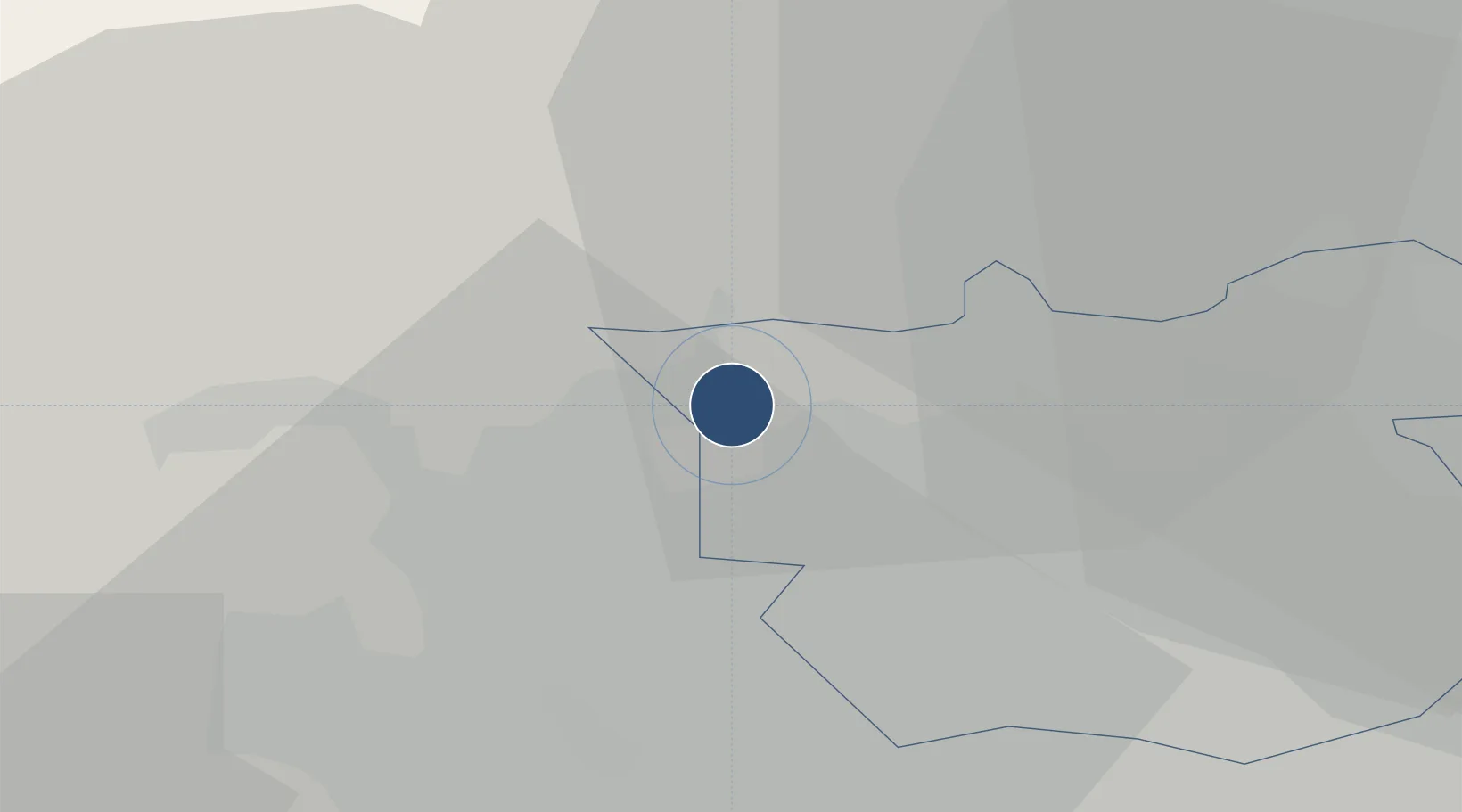
53.8659°, -1.6606°
7,381 ft
Longest runway
1
Runways
681 ft
Elevation

Runway & Layout

Leeds Bradford Airport runway & taxiway layout
Runway & taxiway layout — OpenStreetMap (ODbL) / OurAirports

Radio Frequencies

ATIS
118.025 MHz
TWR
120.305 MHz
DEL
121.805 MHz
APP
123.38 MHz
APP
134.58 MHz
ILS Rw 32/14
110.9 MHz
OurAirports

Navaids

LBA NDB Leeds Bradford 403 kHz
OurAirports

Runways · 1

RunwayDimensions SurfaceTrue headingLit
14/32 7,381 × 150ft Concrete 138°
OurAirports

Airport Specifications

IATA code
LBA
OurAirports
ICAO code
EGNM
OurAirports
Airport class
Large airport
OurAirports
Scheduled service
Yes
OurAirports
Runway surface
Concrete
OurAirports
Served city
Leeds, West Yorkshire
OurAirports

Location

Location of EGNM
Natural Earth 10m (public domain) · Leeds · EGNM · 53.87, -1.66GoogleOSMYandex

Nearby Logistics Neighbours

Airports
  1. 1Leeds East Airport31 km
  2. 2RAF Topcliffe42 km
  3. 3RAF Leeming49 km
  4. 4Manchester Airport71 km
  5. 5Teesside International Airport73 km
Nearest neighbours — logibook spatial index (haversine) over the source coordinates
Cities
  1. 1Horsforth4 km
  2. 2Apperley Bridge4 km
  3. 3Stanningley8 km
  4. 4Laisterdyke8 km
  5. 5Moortown10 km
Nearest neighbours — logibook spatial index (haversine) over the source coordinates
Ports
  1. 1Howdendyke53 km
  2. 2Goole57 km
  3. 3Manchester58 km
  4. 4Lancaster76 km
  5. 5Heysham84 km
Nearest neighbours — logibook spatial index (haversine) over the source coordinates
Trade Zones
  1. 1Aire Valley Leeds Enterprise Zone15 km
  2. 2York Central Enterprise Zone38 km
  3. 3Sheffield City Region Enterprise Zone55 km
  4. 4Oxford Road Corridor Enterprise Zone59 km
  5. 5Manchester Airport City Enterprise Zone70 km
Nearest neighbours — logibook spatial index (haversine) over the source coordinates
DatabookThe Record of Consolidated Knowledge
United Kingdom beyond logistics?
Browse databook

All Sources

AirportsOurAirports
Public domain
Portsthe NGA World Port Index
Public domain (US gov)
LocationsUN/LOCODE
UN/LOCODE — free
Trade Zonesthe World Bank SEZ database
CC BY 4.0
Trade ZonesOpen Zone Map
CC BY
InfrastructureOpenStreetMap
ODbL 1.0
← United Kingdom airports