UN/LOCODE hub · United Kingdom
GBDRL
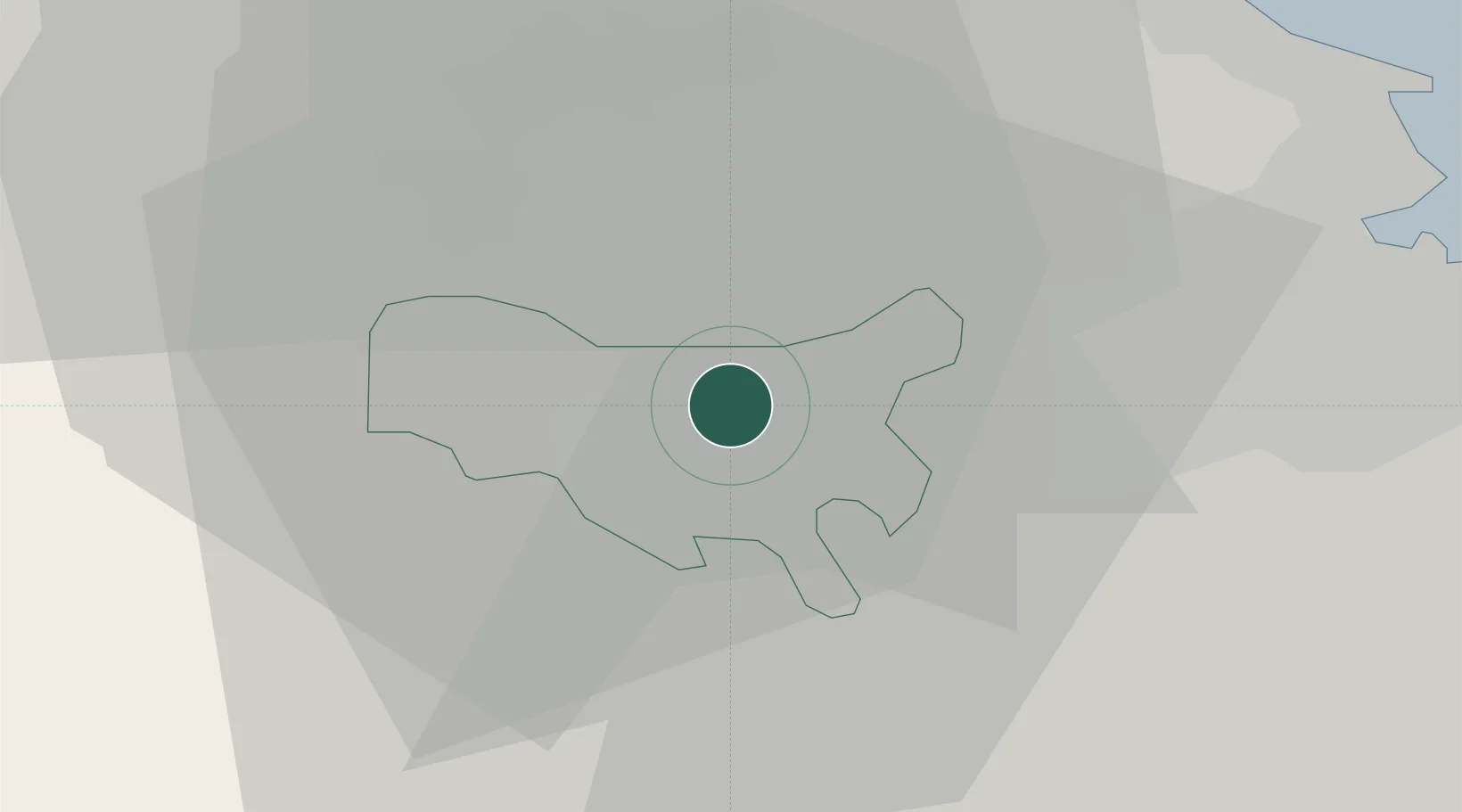
Darlington
54.5437°, -1.5082°
92,363
Population
1
Transport functions
Transport Functions
Port
Hub Profile
Place type
Provincial seat
Region
England
Population
92,363
Time zone
Europe/London
Elevation
40 m
Logistics facilities
2
Location
Nearby Logistics Neighbours
Cities
- 1Eaglescliffe10 km
- 2Egglescliffe11 km
- 3Kirkbymoorside11 km
- 4Chilton12 km
- 5Stockton-on-Tees13 km
Ports
- 1Teesport27 km
- 2Hartlepool27 km
- 3Seaham35 km
- 4Sunderland43 km
- 5Tynemouth51 km
Airports
- 1Teesside International Airport6 km
- 2RAF Leeming28 km
- 3RAF Topcliffe39 km
- 4Newcastle International Airport56 km
- 5Leeds Bradford Airport76 km
Trade Zones
DatabookThe Record of Consolidated Knowledge
United Kingdom beyond logistics?