Medium airport · United Kingdom
RAF TopcliffeEGXZ
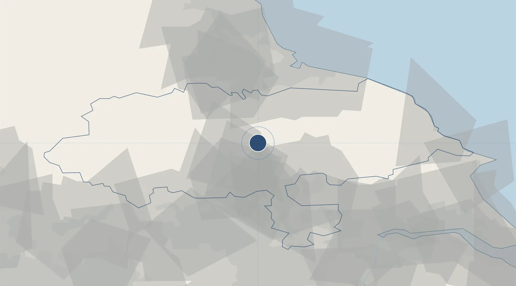
54.2041°, -1.3803°
5,948 ft
Longest runway
2
Runways
92 ft
Elevation
Runway & Layout

Radio Frequencies
TWR
122.1 MHz
TWR
379.75 MHz
GND
241.875 MHz
APP
125 MHz
APP
293.775 MHz
DIR
255.6 MHz
Runways · 2
| Runway | Dimensions | Surface | True heading | Lit |
|---|---|---|---|---|
| 02/20 | 5,948 × 148ft | Asphalt | 022° | ✓ |
| 13/31 | 4,088 × 148ft | Asphalt | 126° | ✓ |
Airport Specifications
ICAO code
EGXZ
Airport class
Medium airport
Scheduled service
No
Runway surface
Asphalt
Served city
Thirsk, North Yorkshire
Location
Nearby Logistics Neighbours
Airports
- 1RAF Leeming15 km
- 2Teesside International Airport34 km
- 3Leeds Bradford Airport42 km
- 4Leeds East Airport43 km
- 5Newcastle International Airport95 km
Cities
- 1Dalton3 km
- 2Easingwold16 km
- 3Hackforth20 km
- 4Flaxby21 km
- 5Crowle23 km
Ports
- 1Teesport52 km
- 2Hartlepool57 km
- 3Whitby58 km
- 4Howdendyke62 km
- 5Scarborough64 km
Trade Zones
DatabookThe Record of Consolidated Knowledge
United Kingdom beyond logistics?