Seaport · United Kingdom
TeesportGBTEE
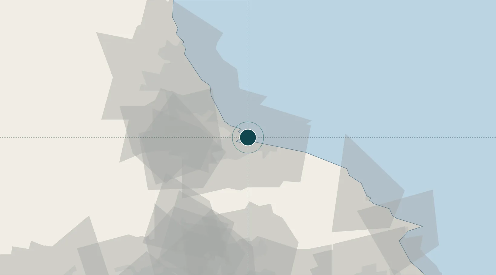
54.6500°, -1.1333°
14.0 m
Channel depth
1
Container terminals
96.2
Port liner connectivity
Channel & Berth Profile
Pilotage, Tugs & Services
Pilotage compulsoryYES
Pilotage availableYES
Pilotage advisableYES
Local assistanceYES
Tug assistanceYES
Shore powerYES
Potable waterYES
Diesel bunkersYES
MedicalYES
Garbage disposalYES
Facilities & Capabilities
Container—
Ro-Ro—
Liquid bulk—
Dry bulk—
Oil terminal—
Break bulk—
Dry dockNO
RepairsNO
BunkeringYES
Rail linkYES
Dangerous cargo—
ISPS security—
Harbour Specifications
Harbour size
Large
Harbour type
River (Tide Gates)
Shelter
Good
Water body
North Sea; North Atlantic Ocean
Tidal range
3 m
Overhead limit
Yes
Pilotage
Yes
Liner Connectivity
96.2
PLSCI
Port Liner Shipping Connectivity Index for Teesport, as published by UNCTAD for the latest available quarter. Higher values indicate stronger scheduled liner-shipping integration.
Shown relative to the highest per-port PLSCI in the dataset (1,657.9).
Location
Container Terminals · 1
TEESPORT CONTAINER TERMINAL
TEES PD PORTS TEESPORT CONTAINER TERMINAL
Nearby Logistics Neighbours
Ports
- 1Hartlepool6 km
- 2Seaham24 km
- 3Sunderland33 km
- 4Whitby38 km
- 5Tynemouth43 km
Cities
- 1Seal Sands2 km
- 2Hartlepool7 km
- 3Greatham7 km
- 4Redcar8 km
- 5Middlesbrough8 km
Airports
- 1Teesside International Airport25 km
- 2RAF Leeming47 km
- 3RAF Topcliffe52 km
- 4Newcastle International Airport56 km
- 5Leeds East Airport91 km
Trade Zones
DatabookThe Record of Consolidated Knowledge
United Kingdom beyond logistics?