Medium airport · United Kingdom

Teesside International AirportEGNV
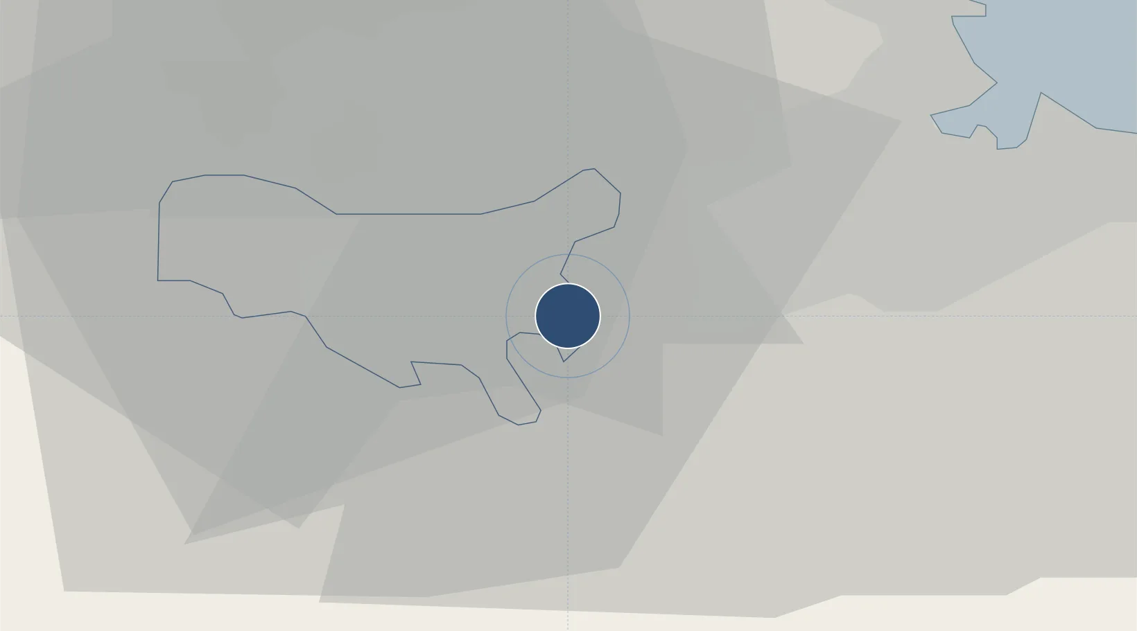
54.5092°, -1.4294°
7,516 ft
Longest runway
1
Runways
120 ft
Elevation

Runway & Layout

Teesside International Airport runway & taxiway layout
Runway & taxiway layout — OpenStreetMap (ODbL) / OurAirports

Radio Frequencies

ATIS
132.375 MHz
TWR
119.8 MHz
Durham Tower
RADAR
118.85 MHz
Durham Radar
OurAirports

Runways · 1

RunwayDimensions SurfaceTrue headingLit
05/23 7,516 × 148ft Asphalt 048°
OurAirports

Airport Specifications

IATA code
MME
OurAirports
ICAO code
EGNV
OurAirports
Airport class
Medium airport
OurAirports
Scheduled service
Yes
OurAirports
Runway surface
Asphalt
OurAirports
Served city
Darlington, Durham
OurAirports

Location

Location of EGNV
Natural Earth 10m (public domain) · Darlington · EGNV · 54.51, -1.43GoogleOSMYandex

Nearby Logistics Neighbours

Airports
  1. 1RAF Leeming25 km
  2. 2RAF Topcliffe34 km
  3. 3Newcastle International Airport61 km
  4. 4Leeds Bradford Airport73 km
  5. 5Leeds East Airport77 km
Nearest neighbours — logibook spatial index (haversine) over the source coordinates
Cities
  1. 1Egglescliffe5 km
  2. 2Eaglescliffe6 km
  3. 3Darlington6 km
  4. 4Stockton-on-Tees10 km
  5. 5Kirkbymoorside10 km
Nearest neighbours — logibook spatial index (haversine) over the source coordinates
Ports
  1. 1Teesport25 km
  2. 2Hartlepool27 km
  3. 3Seaham37 km
  4. 4Sunderland46 km
  5. 5Whitby53 km
Nearest neighbours — logibook spatial index (haversine) over the source coordinates
Trade Zones
  1. 1Tees Valley Enterprise Zone19 km
  2. 2North Eastern Enterprise Zone52 km
  3. 3York Central Enterprise Zone65 km
  4. 4Aire Valley Leeds Enterprise Zone81 km
  5. 5Humberside Free Zone109 km
Nearest neighbours — logibook spatial index (haversine) over the source coordinates
DatabookThe Record of Consolidated Knowledge
United Kingdom beyond logistics?
Browse databook

All Sources

AirportsOurAirports
Public domain
Portsthe NGA World Port Index
Public domain (US gov)
LocationsUN/LOCODE
UN/LOCODE — free
Trade Zonesthe World Bank SEZ database
CC BY 4.0
Trade ZonesOpen Zone Map
CC BY
InfrastructureOpenStreetMap
ODbL 1.0
← United Kingdom airports