Medium airport · United Kingdom
RAF LeemingEGXE
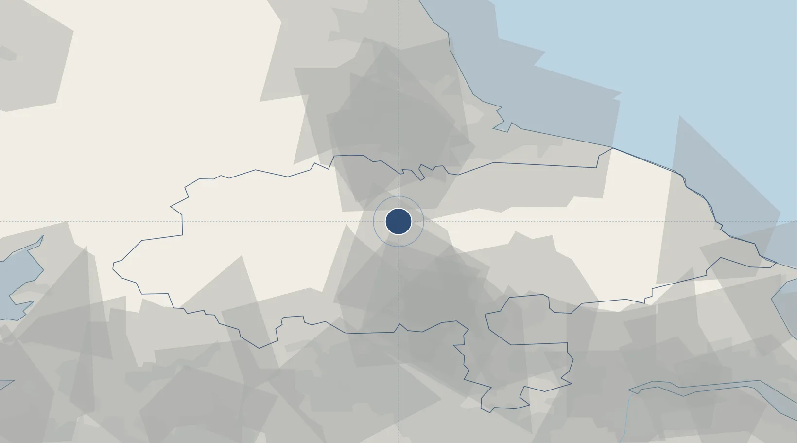
54.2972°, -1.5389°
7,516 ft
Longest runway
1
Runways
132 ft
Elevation
Runway & Layout

Radio Frequencies
ATIS
369.475 MHz
TWR
120.5 MHz
TWR
368.92 MHz
GND
379.9 MHz
APP
123.3 MHz
APP
127.75 MHz
APP
386.57 MHz
MISC
127.75 MHz
ZONE
OPS
259.025 MHz
Navaids
LEE TACAN Leeming 112.60 MHz
Runways · 1
| Runway | Dimensions | Surface | True heading | Lit |
|---|---|---|---|---|
| 16/34 | 7,516 × 151ft | Asphalt | 156° | ✓ |
Airport Specifications
ICAO code
EGXE
Airport class
Medium airport
Scheduled service
No
Runway surface
Asphalt
Served city
Northallerton, North Yorkshire
Location
Nearby Logistics Neighbours
Airports
- 1RAF Topcliffe15 km
- 2Teesside International Airport25 km
- 3Leeds Bradford Airport49 km
- 4Leeds East Airport56 km
- 5Newcastle International Airport83 km
Cities
- 1Hackforth6 km
- 2Moulton16 km
- 3Kirkbymoorside17 km
- 4Middleham17 km
- 5Dalton18 km
Ports
- 1Teesport47 km
- 2Hartlepool50 km
- 3Seaham61 km
- 4Whitby63 km
- 5Sunderland70 km
Trade Zones
DatabookThe Record of Consolidated Knowledge
United Kingdom beyond logistics?