UN/LOCODE hub · United Kingdom
GBZCH

Moulton

54.4333°, -1.6333°
1
Transport functions

Transport Functions

Multimodal
UN/LOCODE

Hub Profile

Place type
Populated place
GeoNames
Region
England
GeoNames
Time zone
Europe/London
GeoNames
Elevation
65 m
GeoNames

Location

Location of GBZCH
Natural Earth 10m (public domain) · England · GBZCH · 54.43, -1.63GoogleOSMYandex

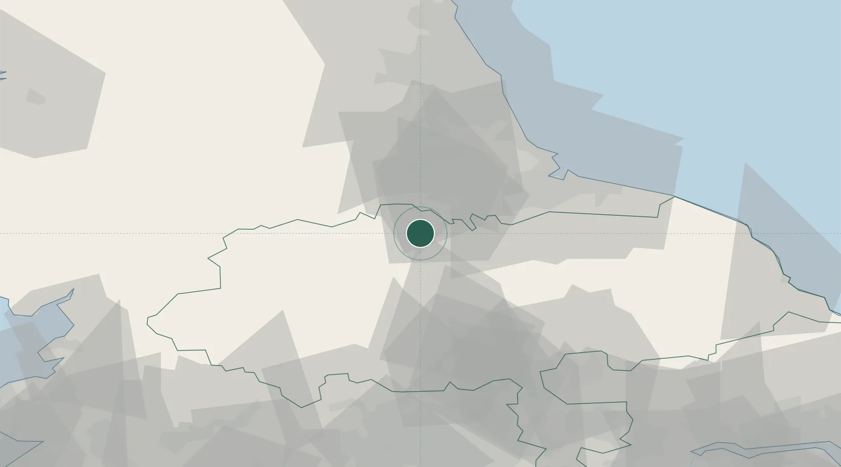
Nearby Logistics Neighbours

Cities
  1. 1Kirkbymoorside6 km
  2. 2Melsonby6 km
  3. 3Hackforth11 km
  4. 4Darlington15 km
  5. 5Middleham20 km
Nearest neighbours — logibook spatial index (haversine) over the source coordinates
Ports
  1. 1Teesport40 km
  2. 2Hartlepool42 km
  3. 3Seaham49 km
  4. 4Sunderland56 km
  5. 5Tynemouth65 km
Nearest neighbours — logibook spatial index (haversine) over the source coordinates
Airports
  1. 1Teesside International Airport16 km
  2. 2RAF Leeming16 km
  3. 3RAF Topcliffe30 km
  4. 4Leeds Bradford Airport63 km
  5. 5Newcastle International Airport67 km
Nearest neighbours — logibook spatial index (haversine) over the source coordinates
Trade Zones
  1. 1Tees Valley Enterprise Zone34 km
  2. 2North Eastern Enterprise Zone59 km
  3. 3York Central Enterprise Zone63 km
  4. 4Aire Valley Leeds Enterprise Zone74 km
  5. 5Carlisle Kingmoor Park Enterprise Zone102 km
Nearest neighbours — logibook spatial index (haversine) over the source coordinates
DatabookThe Record of Consolidated Knowledge
United Kingdom beyond logistics?
Browse databook

All Sources

LocationsUN/LOCODE
UN/LOCODE — free
Portsthe NGA World Port Index
Public domain (US gov)
AirportsOurAirports
Public domain
Trade Zonesthe World Bank SEZ database
CC BY 4.0
Trade ZonesOpen Zone Map
CC BY
← United Kingdom locations