Transport Functions
Rail
Road
Hub Profile
Region
STT
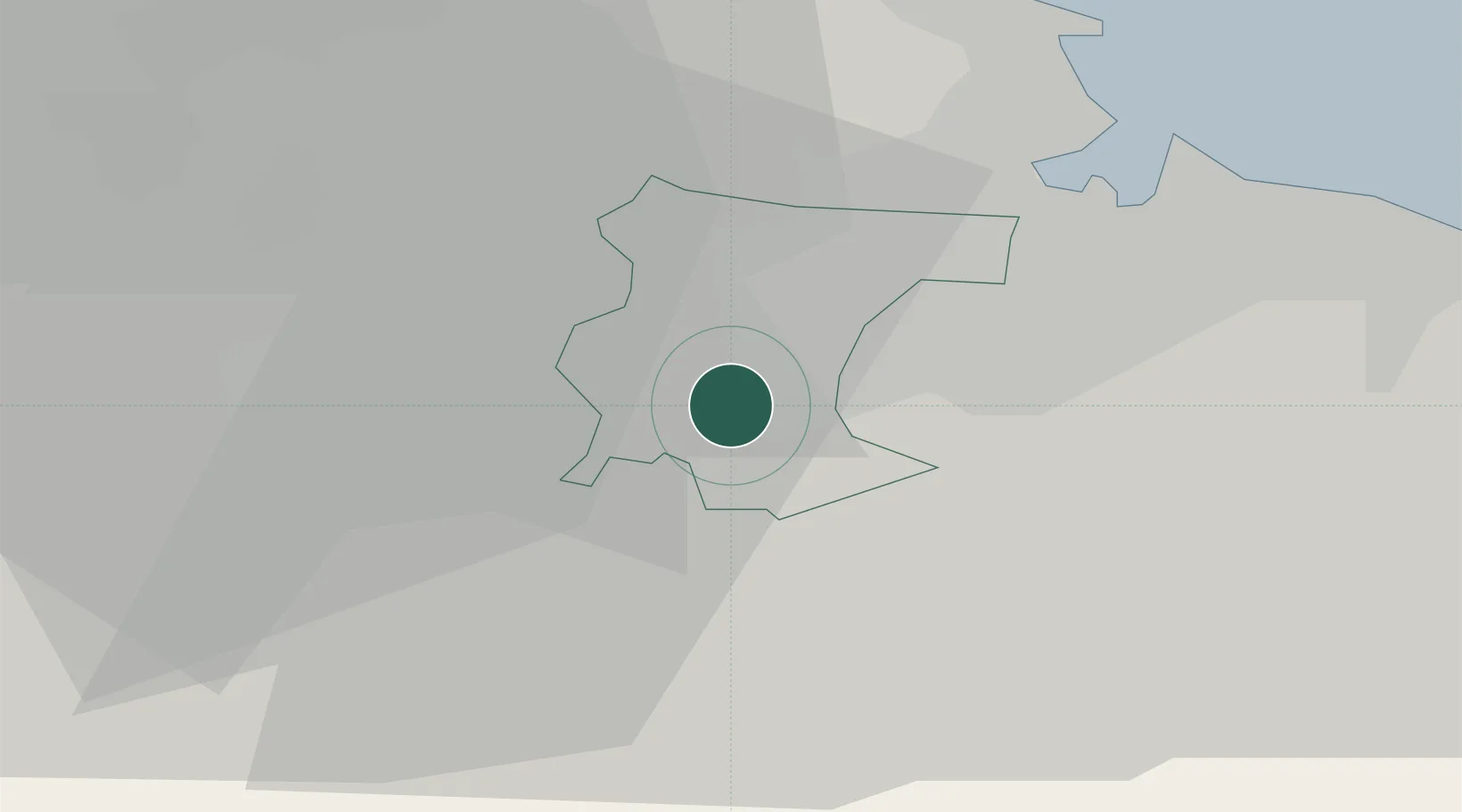
Location
Nearby Logistics Neighbours
Cities
- 1Eaglescliffe2 km
- 2Stockton-on-Tees6 km
- 3Billingham10 km
- 4Port Clarence11 km
- 5Darlington11 km
Ports
- 1Teesport20 km
- 2Hartlepool23 km
- 3Seaham35 km
- 4Sunderland45 km
- 5Whitby48 km
Airports
- 1Teesside International Airport5 km
- 2RAF Leeming27 km
- 3RAF Topcliffe35 km
- 4Newcastle International Airport62 km
- 5Leeds Bradford Airport75 km
Trade Zones
DatabookThe Record of Consolidated Knowledge
United Kingdom beyond logistics?