Economic Revitalization Project · United Kingdom

Aire Valley Leeds Enterprise Zone Active
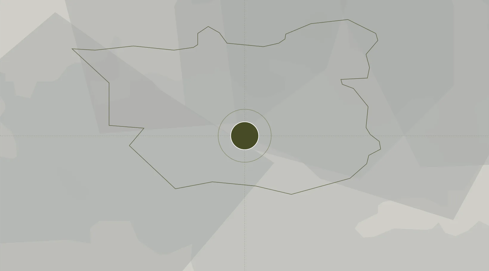
53.7782°, -1.4817°
142 ha
Zone area
39.7 km
Nearest port
15.3 km
Nearest airport

Gateway access

Nearest neighbours — logibook spatial index (haversine) over the source coordinates

Zone profile

Zone type
Economic Revitalization Project
Open Zone Map
Region
Leeds
Open Zone Map
Status
Active
Open Zone Map
Management
Public-Private Partnership
Open Zone Map
Operator
Leeds City Region Local Enterprise Partnership
Open Zone Map
Legal framework
Local Government, Planning and Land Act 1980
Open Zone Map

Location

Location of ozm-4699
Natural Earth 10m (public domain) · Leeds · ozm-4699 · 53.78, -1.48GoogleOSMYandex

Nearby Logistics Neighbours

Ports
  1. 1Howdendyke40 km
  2. 2Goole44 km
  3. 3Manchester61 km
  4. 4New Holland74 km
  5. 5Kingston Upon Hull79 km
Nearest neighbours — logibook spatial index (haversine) over the source coordinates
Airports
  1. 1Leeds Bradford Airport15 km
  2. 2Leeds East Airport20 km
  3. 3RAF Topcliffe48 km
  4. 4RAF Leeming58 km
  5. 5Manchester Airport71 km
Nearest neighbours — logibook spatial index (haversine) over the source coordinates
Cities
  1. 1Stourton/Leeds1 km
  2. 2Leeds2 km
  3. 3Leeds ICD2 km
  4. 4Denaby3 km
  5. 5Hunslet/Leeds3 km
Nearest neighbours — logibook spatial index (haversine) over the source coordinates
Trade Zones
  1. 1York Central Enterprise Zone32 km
  2. 2Sheffield City Region Enterprise Zone44 km
  3. 3Oxford Road Corridor Enterprise Zone61 km
  4. 4Manchester Airport City Enterprise Zone71 km
  5. 5Humber Enterprise Zone76 km
Nearest neighbours — logibook spatial index (haversine) over the source coordinates
DatabookThe Record of Consolidated Knowledge
United Kingdom beyond logistics?
Browse databook

All Sources

Trade ZonesOpen Zone Map
CC BY
Portsthe NGA World Port Index
Public domain (US gov)
AirportsOurAirports
Public domain
LocationsUN/LOCODE
UN/LOCODE — free
← United Kingdom trade zones