Channel & Berth Profile
Pilotage, Tugs & Services
Pilotage compulsoryYES
Pilotage availableYES
Pilotage advisableYES
Tug assistanceNO
Salvage tugsNO
Potable waterYES
Diesel bunkersYES
MedicalYES
Garbage disposalYES
Facilities & Capabilities
Container—
Ro-Ro—
Liquid bulk—
Dry bulk—
Oil terminal—
Break bulk—
Dry dock—
RepairsNO
BunkeringYES
Rail linkYES
Dangerous cargo—
ISPS security—
Harbour Specifications
Harbour size
Small
Harbour type
Coastal (Breakwater)
Shelter
Good
Water body
North Sea; North Atlantic Ocean
Tidal range
4 m
Overhead limit
Yes
Pilotage
Yes
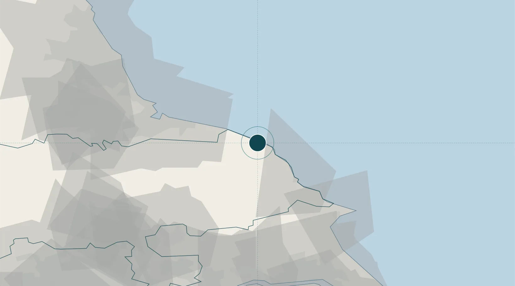
Location
Nearby Logistics Neighbours
Ports
- 1Scarborough26 km
- 2Teesport38 km
- 3Hartlepool44 km
- 4Bridlington53 km
- 5Seaham60 km
Cities
- 1Brandesburton9 km
- 2Robin Hoods Bay13 km
- 3Staithes14 km
- 4Liverton19 km
- 5Skinningrove19 km
Airports
- 1Teesside International Airport53 km
- 2RAF Topcliffe58 km
- 3RAF Leeming63 km
- 4Leeds East Airport81 km
- 5Newcastle International Airport92 km
Trade Zones
DatabookThe Record of Consolidated Knowledge
United Kingdom beyond logistics?