Transport Functions
Multimodal
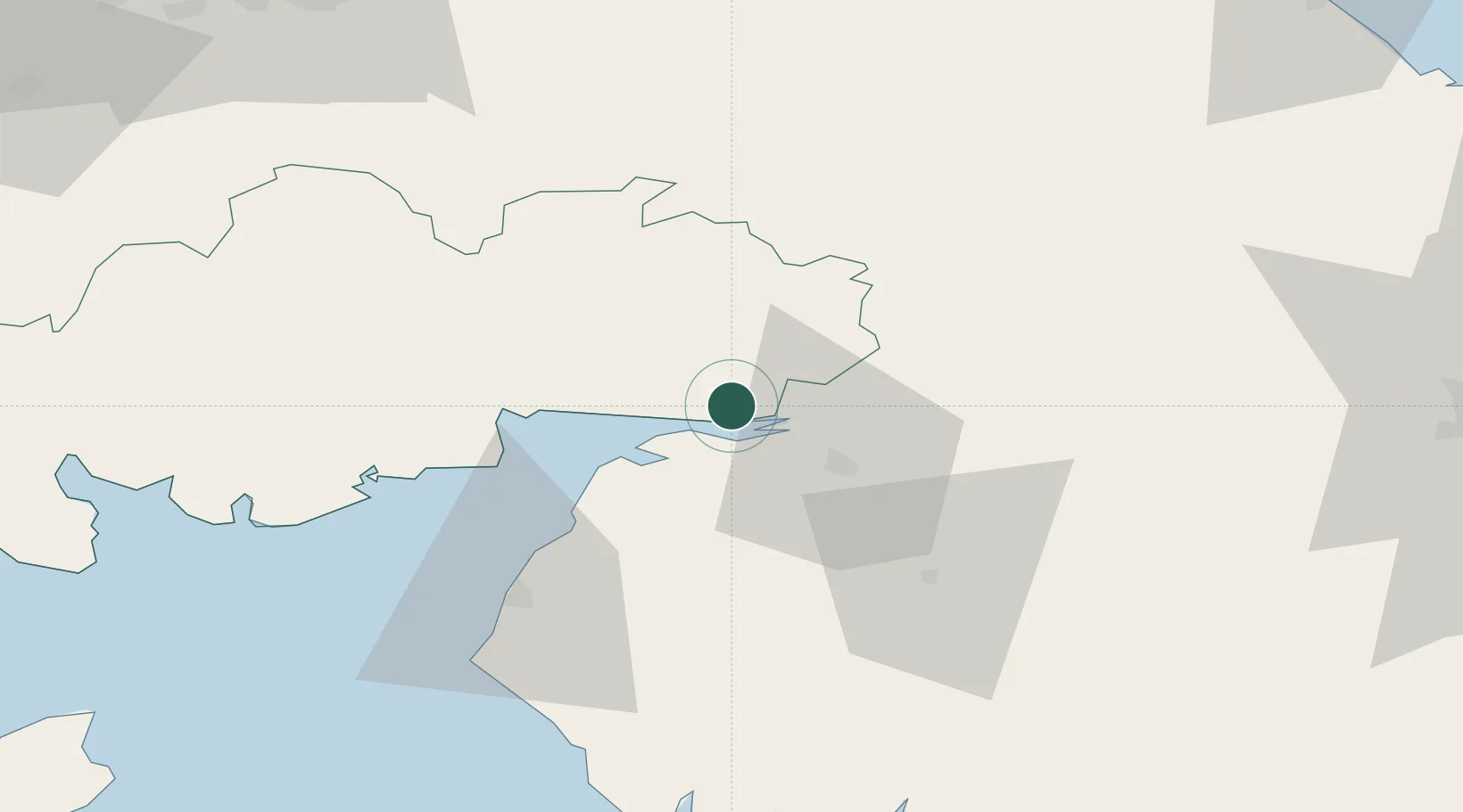
Hub Profile
Place type
Populated place
Region
Scotland
Time zone
Europe/London
Elevation
31 m
Location
Nearby Logistics Neighbours
Ports
- 1Silloth23 km
- 2Workington58 km
- 3Barrow In Furness98 km
- 4Blyth105 km
- 5Warkworth Harbour105 km
Airports
- 1Carlisle Lake District Airport22 km
- 2RAF Spadeadam38 km
- 3Newcastle International Airport92 km
- 4Barrow Walney Island Airport97 km
- 5Edinburgh Airport107 km
Trade Zones
DatabookThe Record of Consolidated Knowledge
United Kingdom beyond logistics?