Channel & Berth Profile
Pilotage, Tugs & Services
Pilotage compulsoryYES
Pilotage availableYES
Pilotage advisableYES
Local assistanceYES
Tug assistanceNO
Salvage tugsNO
Potable waterYES
Diesel bunkersYES
MedicalYES
Garbage disposalYES
Facilities & Capabilities
Container—
Ro-Ro—
Liquid bulk—
Dry bulk—
Oil terminal—
Break bulk—
Dry dock—
RepairsNO
BunkeringYES
Rail linkYES
Dangerous cargo—
ISPS security—
Harbour Specifications
Harbour size
Small
Harbour type
Coastal (Tide Gates)
Shelter
Good
Water body
Irish Sea; North Atlantic Ocean
Tidal range
4 m
Overhead limit
Yes
Pilotage
Yes
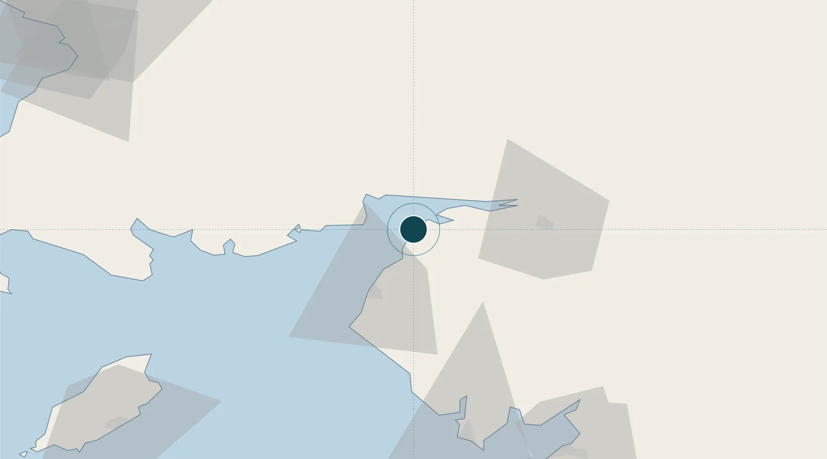
Location
Nearby Logistics Neighbours
Ports
- 1Workington37 km
- 2Barrow In Furness84 km
- 3Ramsey87 km
- 4Heysham98 km
- 5Lancaster99 km
Cities
- 1Carsethorn12 km
- 2Southerness13 km
- 3Aspatria14 km
- 4Annan16 km
- 5Gretna Green23 km
Airports
- 1Carlisle Lake District Airport39 km
- 2RAF Spadeadam58 km
- 3Barrow Walney Island Airport83 km
- 4Glasgow Prestwick Airport103 km
- 5Newcastle International Airport111 km
Trade Zones
DatabookThe Record of Consolidated Knowledge
United Kingdom beyond logistics?