UN/LOCODE hub · United Kingdom
GBCAX
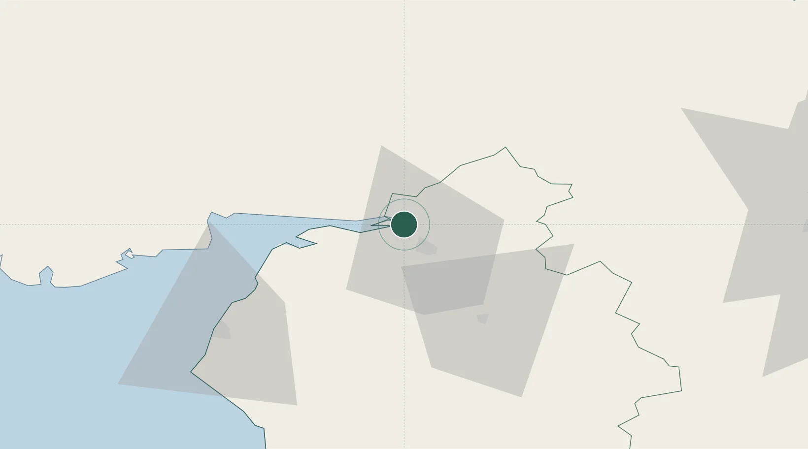
Carlisle
54.9574°, -2.9908°
78,470
Population
2
Transport functions
Transport Functions
Port
Airport
Hub Profile
Place type
Provincial seat
Region
England
Population
78,470
Time zone
Europe/London
Elevation
29 m
Logistics facilities
1
Location
Nearby Logistics Neighbours
Cities
- 1Gretna7 km
- 2Harraby10 km
- 3Gretna Green10 km
- 4Canonbie12 km
- 5Annan18 km
Ports
- 1Silloth28 km
- 2Workington60 km
- 3Barrow In Furness95 km
- 4Blyth97 km
- 5Warkworth Harbour99 km
Airports
Trade Zones
DatabookThe Record of Consolidated Knowledge
United Kingdom beyond logistics?