Medium airport · United Kingdom

Barrow Walney Island AirportEGNL
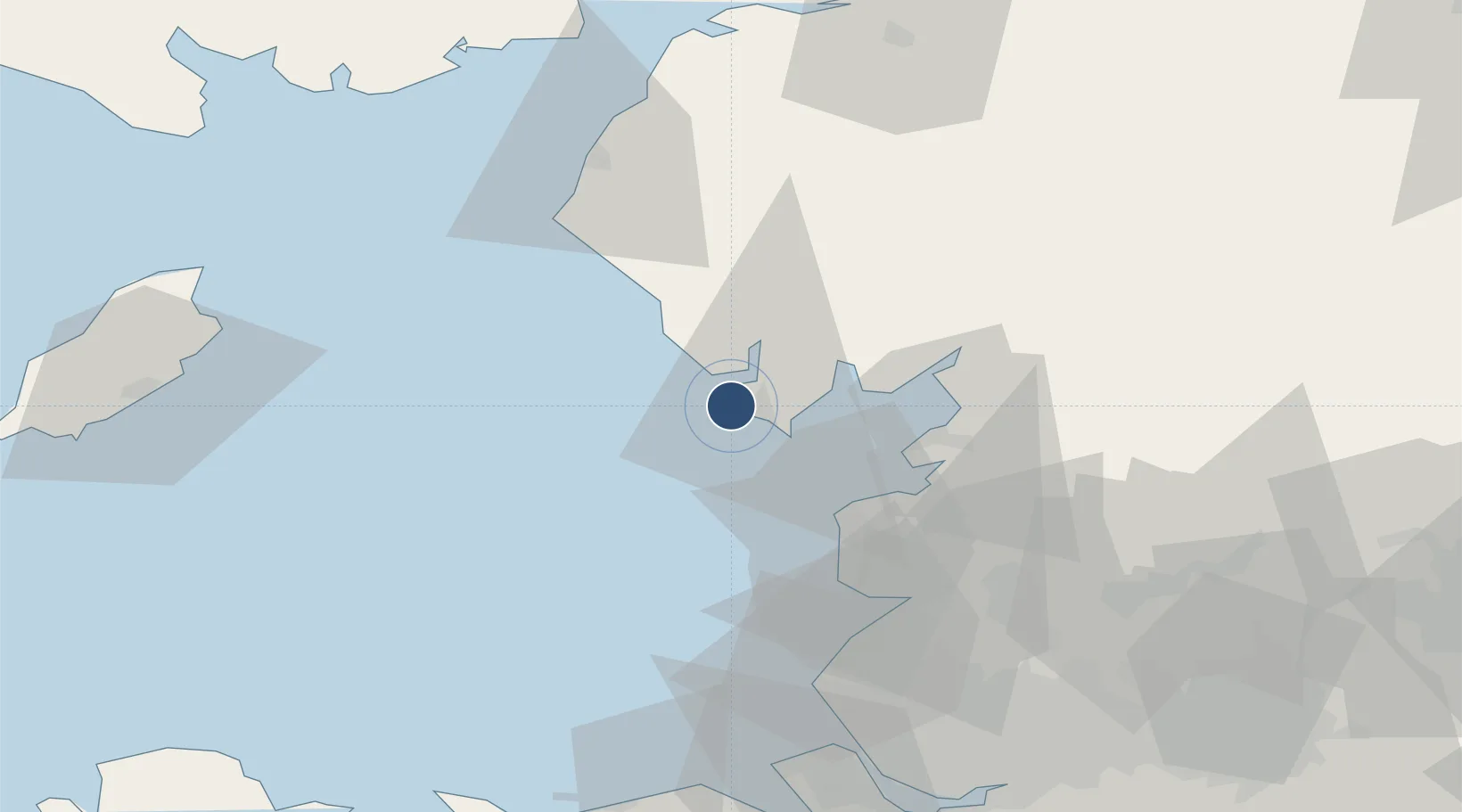
54.1286°, -3.2675°
3,438 ft
Longest runway
2
Runways
173 ft
Elevation

Runway & Layout

Barrow Walney Island Airport runway & taxiway layout
Runway & taxiway layout — OpenStreetMap (ODbL) / OurAirports

Radio Frequencies

AFIS
123.2 MHz
INFO
OurAirports

Runways · 2

RunwayDimensions SurfaceTrue headingLit
05/23 3,438 × 151ft Asphalt 056°
17/35 3,318 × 151ft Asphalt 166°
OurAirports

Airport Specifications

IATA code
BWF
OurAirports
ICAO code
EGNL
OurAirports
Airport class
Medium airport
OurAirports
Scheduled service
No
OurAirports
Runway surface
Asphalt
OurAirports
Served city
Barrow-in-Furness
OurAirports

Location

Location of EGNL
Natural Earth 10m (public domain) · Cumbria · EGNL · 54.13, -3.27GoogleOSMYandex

Nearby Logistics Neighbours

Airports
  1. 1Blackpool Airport43 km
  2. 2Warton Aerodrome50 km
  3. 3Isle of Man Airport89 km
  4. 4Liverpool John Lennon Airport92 km
  5. 5Carlisle Lake District Airport95 km
Nearest neighbours — logibook spatial index (haversine) over the source coordinates
Cities
  1. 1Barrow in Furness3 km
  2. 2Bardsea13 km
  3. 3Broughton In Furness16 km
  4. 4Flookburgh20 km
  5. 5Grange over Sands25 km
Nearest neighbours — logibook spatial index (haversine) over the source coordinates
Ports
  1. 1Barrow In Furness3 km
  2. 2Heysham25 km
  3. 3Fleetwood29 km
  4. 4Lancaster33 km
  5. 5Workington54 km
Nearest neighbours — logibook spatial index (haversine) over the source coordinates
Trade Zones
  1. 1Blackpool Enterprise Zone43 km
  2. 2Hillhouse Enterprise Zone44 km
  3. 3Lancashire Enterprise Zone54 km
  4. 4Liverpool Free Zone78 km
  5. 5Mersey Waters Enterprise Zone83 km
Nearest neighbours — logibook spatial index (haversine) over the source coordinates
DatabookThe Record of Consolidated Knowledge
United Kingdom beyond logistics?
Browse databook

All Sources

AirportsOurAirports
Public domain
Portsthe NGA World Port Index
Public domain (US gov)
LocationsUN/LOCODE
UN/LOCODE — free
Trade Zonesthe World Bank SEZ database
CC BY 4.0
Trade ZonesOpen Zone Map
CC BY
InfrastructureOpenStreetMap
ODbL 1.0
← United Kingdom airports